
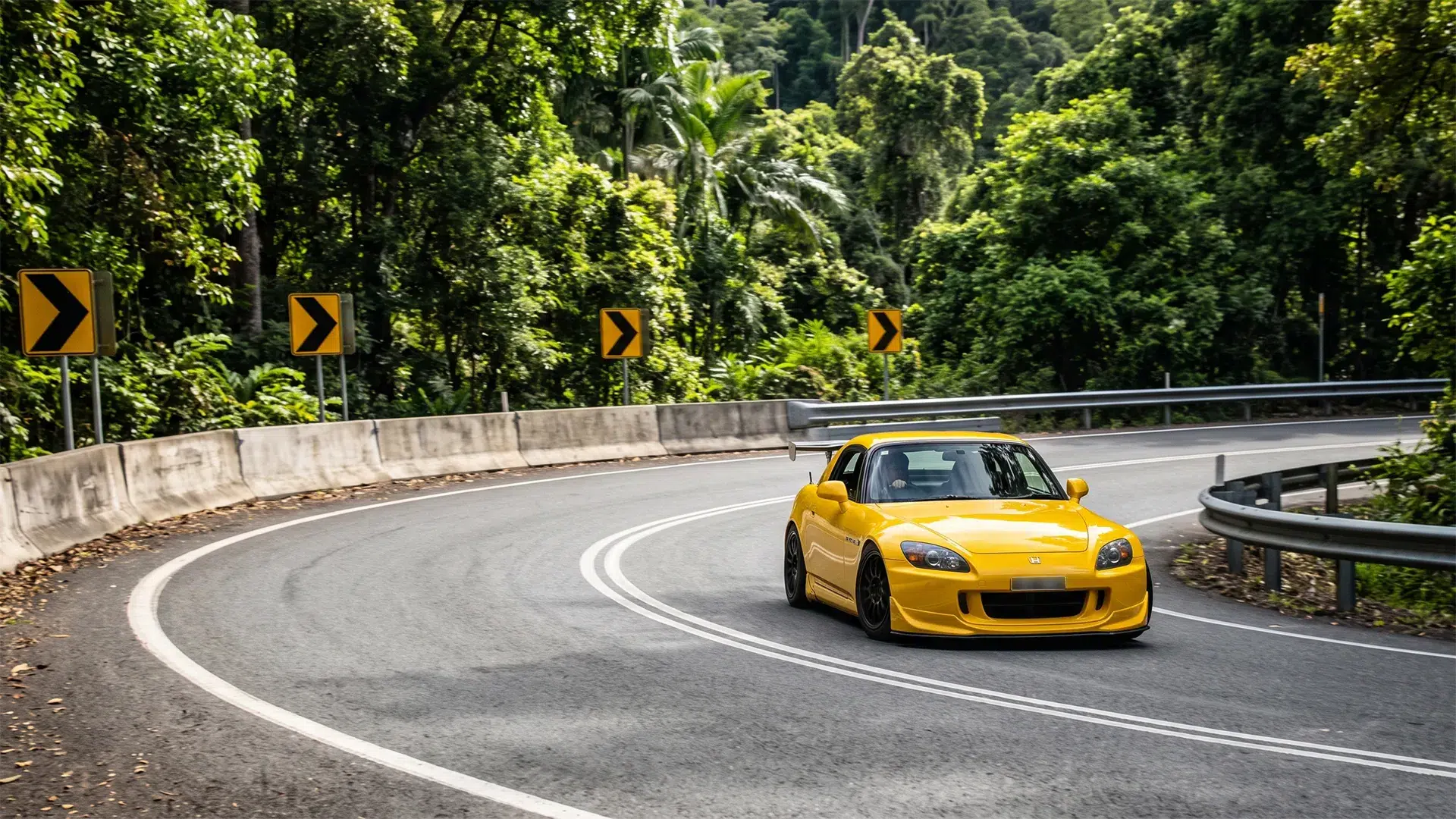

Divide one into the other and the number stops being a fun fact. A corner every 72 metres. Hold a steady 60km/h and the car changes direction roughly every four seconds, for nineteen straight kilometres, while climbing 800 metres through World Heritage rainforest. That is not a scenic drive so much as a sustained workload, and it explains almost everything people say about this road.
The Gillies
What does 263 corners in 19 kilometres actually feel like?
Relentless is the honest word. The Atherton Tablelands tourism body puts the count at 263 corners and 800 metres of climb across 19 kilometres, starting at Gordonvale about 35 kilometres south of Cairns and finishing at Yungaburra. There is no long straight to reset on, no rhythm section, nothing but the next bend arriving.
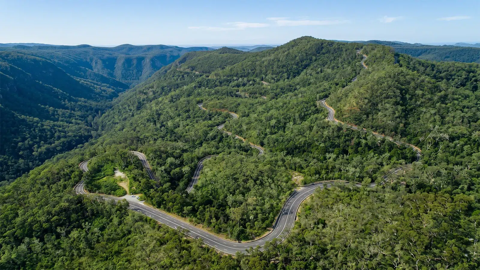
Most celebrated Australian driving roads give you something back between the corners. The Gillies does not deal in recovery time, and its reputation rests on density rather than drama. Drivers who arrive expecting big sweeping vistas taken at speed tend to leave slightly baffled about what the fuss is, because the pleasure here is entirely in the sequence rather than any single moment.
The compensation is the setting. The road climbs out of coastal cane country into Wet Tropics rainforest, and the temperature drops noticeably as you gain height. By the top you are on the Atherton Tablelands, which feels like a different state from the coast you left forty minutes earlier, all green pasture and volcanic crater lakes instead of humidity and sugar.
How hard is it to drive?
Queensland’s own road safety service rates it moderate to high. The StreetSmarts route notes describe primarily sealed road with good surface quality, then flag winding sections, significant elevation change, and the potential for rain and fog to cut visibility. Good handling skills and careful navigation on turns and descents are listed as requirements, not suggestions.
The surface is not the problem. This is a properly maintained highway rather than a goat track, and it rewards a car that turns in cleanly far more than one with ground clearance or driven wheels at both ends. Nothing here demands a special vehicle in the way that a genuine high-country track like Blue Rag Range in Victoria does.
What catches people out is concentration fatigue rather than any individual corner. Nineteen kilometres sounds trivial until you work out that you will make several hundred steering inputs, and a similar number of brake and throttle decisions, inside roughly twenty minutes. Drivers tend to make their mistakes late in the climb rather than early, once the novelty has worn off and the arm is tired.
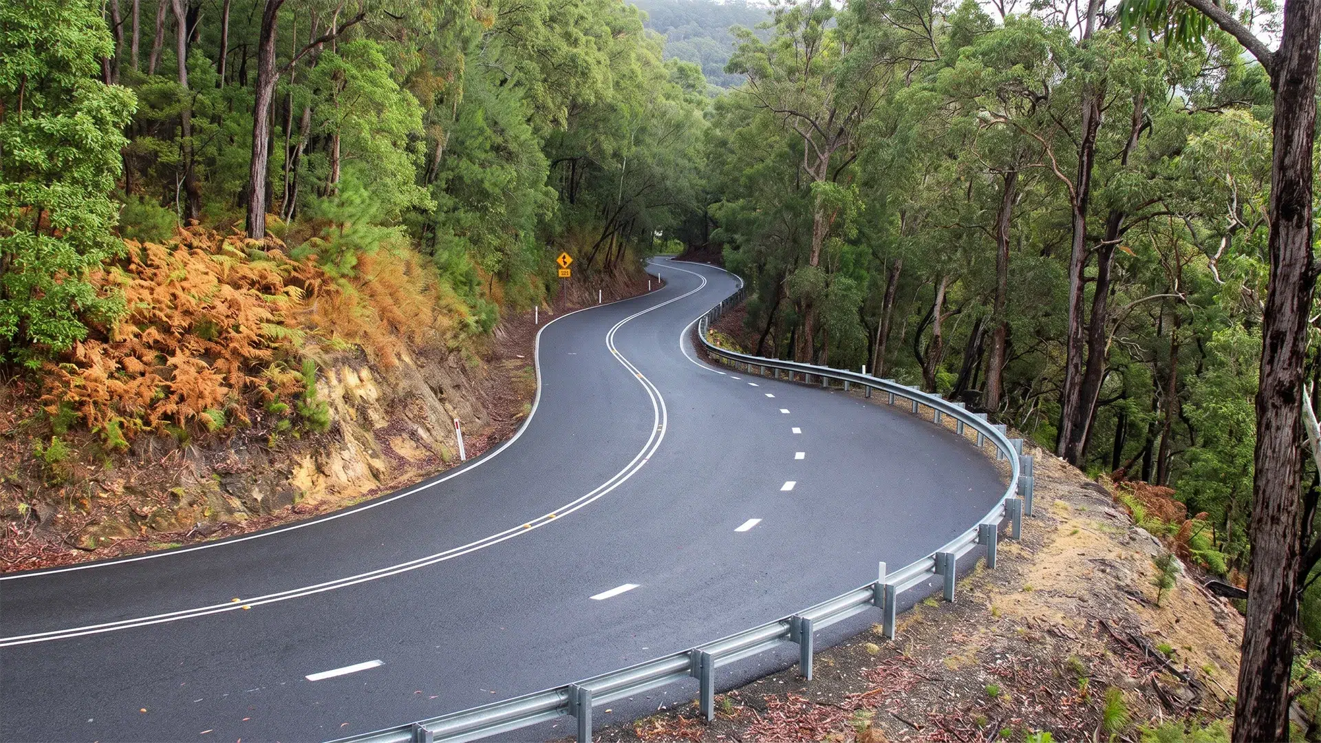
Why does everyone warn you about motion sickness?
Because the arithmetic is unkind to passengers. A direction change every four seconds, sustained for twenty minutes, with 800 metres of altitude change layered underneath, is close to a laboratory recipe for it. Drivers are largely fine, because anticipating the next input prevents the mismatch between what the inner ear feels and what the eyes expect.
The practical consequences are worth planning around rather than discovering. Anyone prone to it should take the front seat, keep their eyes on the road well ahead instead of a phone, and eat properly before the climb rather than during it. Children in the back of a firmly sprung car are the most reliable casualties, and the back seat is the worst place to be by a wide margin.
Descending affects most people more than climbing, which matters when you decide the direction of your loop. If somebody in the car is likely to struggle, drive up the Gillies while everyone is fresh and come back down to the coast by a gentler route. Nobody remembers the scenery if the trip ends with a stop on the shoulder.
When should you actually go?
Early, and on a weekday. StreetSmarts notes traffic is generally lighter on this rural route but increases on weekends and through peak tourist season, and the Gillies carries coach traffic between Cairns and the Tablelands. One bus, or one caravan doing the sensible thing at 30km/h, converts the entire climb into a queue with nowhere sane to overtake.
Weekday mornings are the answer, ideally before the tour operators start moving out of Cairns. Sunday afternoon is the exact opposite proposition, when everybody who drove up for lunch at Yungaburra heads back down the hill at the same time, and the road becomes a slow-moving convoy with brake lights all the way to Gordonvale.
Season matters as much as time of day up here. The northern wet runs roughly November to April and brings serious rain to a road that is already shaded and damp, along with the fog that Queensland’s own notes single out as a visibility risk. The dry season from May to October is both safer and considerably more pleasant.
What should you be driving?
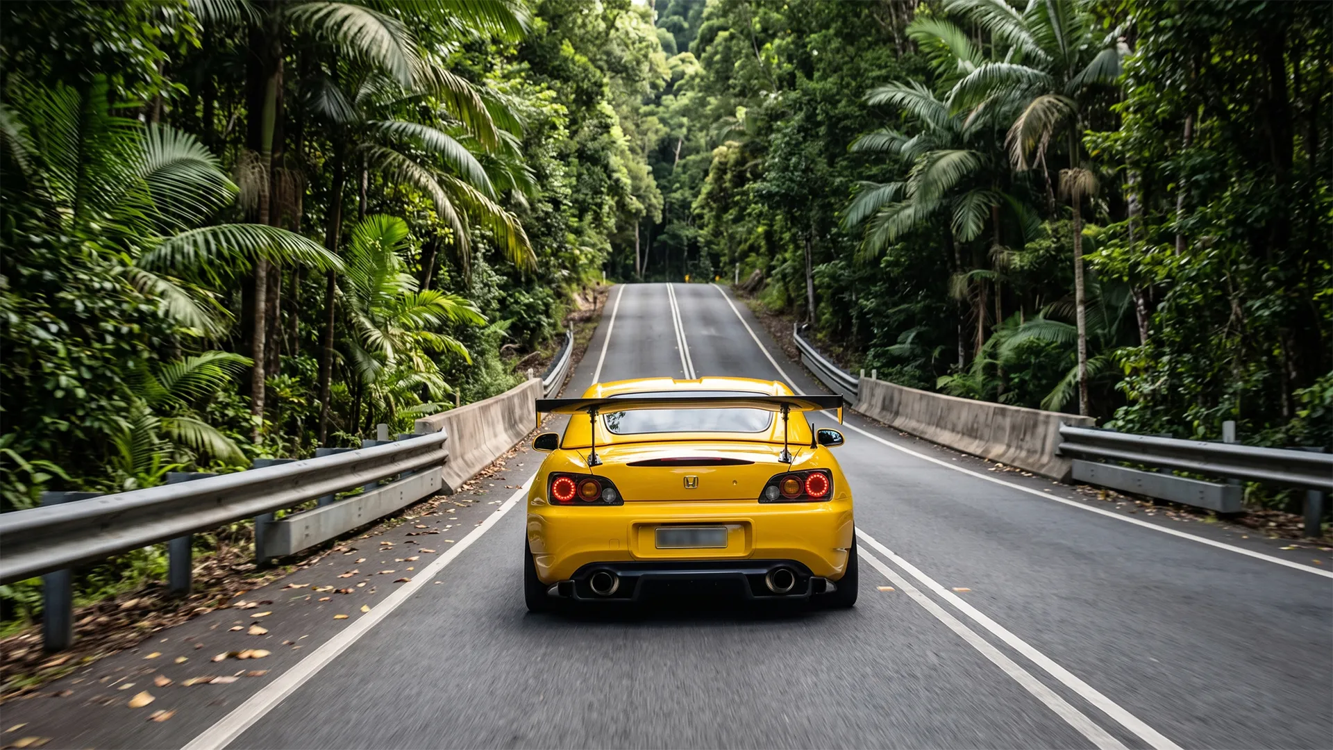
Something small, like an s2000. This is one of the few Australian roads where a modest, light, well-sorted car genuinely beats a powerful one, because there is nowhere to deploy power and everywhere to need agility. A well-driven warm hatch will not be embarrassed by anything carrying four times the outputs and twice the mass.
Brakes matter more than engine here. A sustained 800-metre descent with a corner every 72 metres is a real thermal workload, so select a lower gear and let engine braking carry the load rather than riding the pedal all the way to the bottom. Fade is the genuine failure mode on this road, and it introduces itself as a long pedal at precisely the wrong moment.
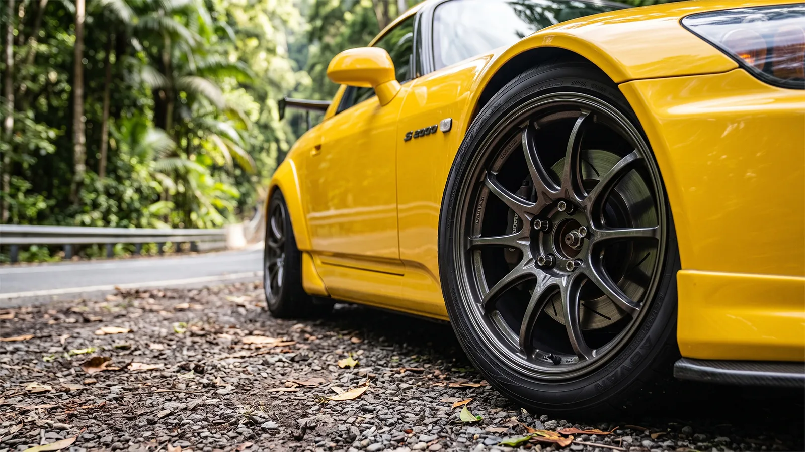
Tyres are the other honest variable. Rainforest roads hold damp in the shade long after the sun is out, and worn rubber on a greasy surface will undo any amount of chassis talent, which is worth thinking about before you decide what to fit. A dash cam earns its place on a road where oncoming traffic regularly cuts apexes.
If you are running anything other than the factory size, it is worth confirming the setup is actually legal before you drive a road that is watched this closely. A change in overall diameter shifts your speedo reading, and on a 60km/h limit with fixed cameras at the bottom, a few percent matters. You can check a wheel and tyre change against the rules in about a minute.
Where is it worth stopping?
Heales Lookout is the one to prioritise, named alongside Yungaburra in the Queensland Government’s route notes as the standout panorama on the climb. Both sit on the range itself, which means that pulling in and out of them is very probably the most hazardous thing you will do all day.
That warning is official rather than editorial. StreetSmarts specifically cautions that other road users often cross double white lines to reach the scenic lookouts, and that vehicles can be facing the wrong way when they depart. Approach every lookout entrance on this road expecting somebody to do something indefensible, because the sightlines are short and the temptation is obvious.
At the top, Yungaburra is a heritage village with a platypus viewing platform on Peterson Creek, and the Curtain Fig Tree stands minutes from the centre with aerial roots roughly 15 metres high and 50 metres across. Crater Lakes National Park holds Lake Barrine and Lake Eacham nearby, the latter a volcanic maar around 65 metres deep.
Should you take the Gillies at all?
Not if you are towing anything substantial, and not if the point of the day is the view rather than the driving. Three sealed routes climb from the coast to the Tablelands, and the Gillies is the shortest, tightest and least forgiving of them. Choosing deliberately beats discovering your mistake somewhere around corner ninety.
Range Roads Compared
Which direction should you run it?
Up the Gillies, every time. The climb is where the road is at its best, and driving it first puts the demanding twenty minutes at the start of the day while concentration is fresh rather than at the end when it is not. Descending is also the harder direction for anyone in the car prone to motion sickness, so leave the gentler route for the way home.
The Palmerston makes the better return leg. It runs 76 kilometres from Innisfail and is still genuinely mountainous, with 2.2 kilometres steeper than a 10 per cent grade, but the corner density falls away and the waterfalls and rainforest lookouts through the Johnstone River valley give you a reason to stop rather than just a way down.
Whichever way you run it, the Gillies is one of the genuinely distinctive drives in the country, in the way that Mt Glorious and Mt Nebo are distinctive further south. It simply asks for a clear head, cool brakes, an early start, and passengers who have been warned about what the next twenty minutes involve.
Drive it at eight on a Tuesday and it is among the best twenty minutes available to an Australian driver. Drive it at two on a Sunday behind a coach and you will spend the whole climb wondering what anybody sees in it.


