
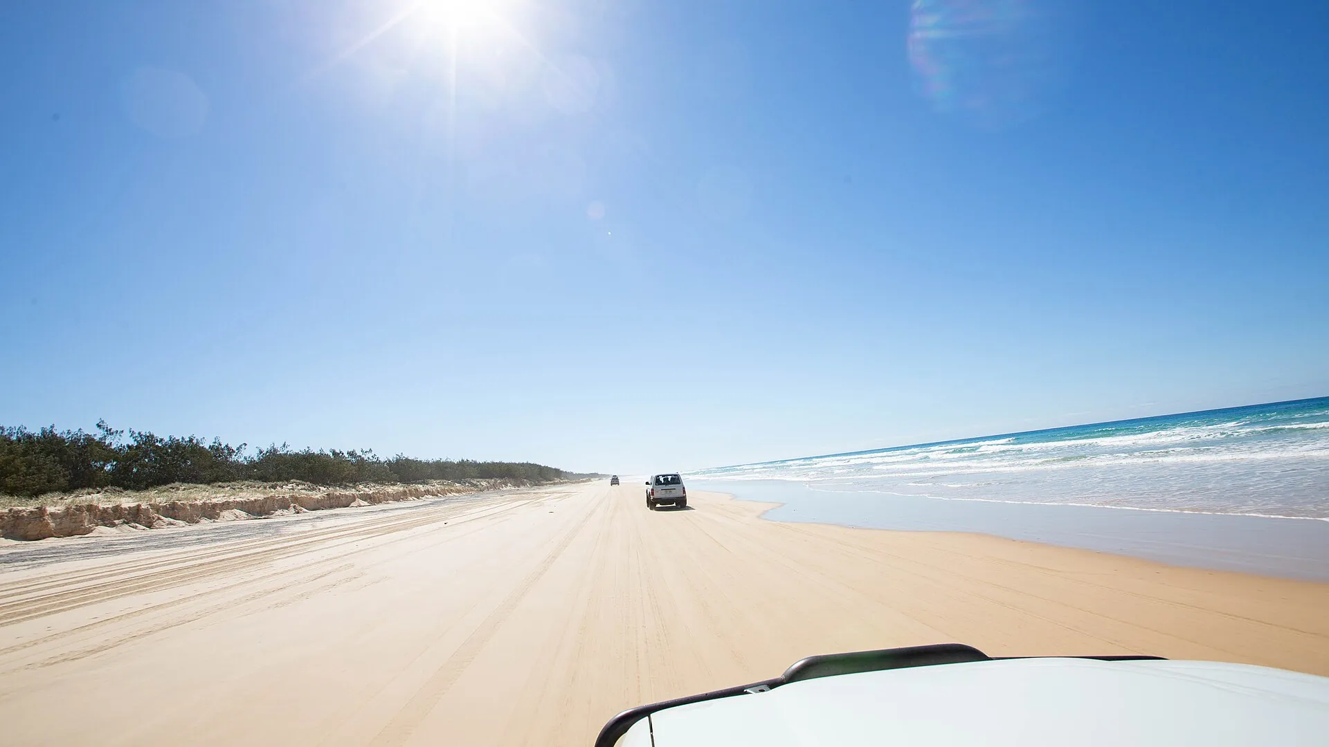

K'gari is not a beach drive. It's a sand drive run on a tide clock, with two permits, a barge and about 200 wongari that know exactly what an unlocked esky sounds like. The people who get bogged, fined or worse are usually the ones who treated it like a day at the coast. This guide covers what you need before the barge ramp, with every rule and price checked as of late October 2026.
What permits do you need for K'gari?
Two, and both are bought before you arrive. A vehicle access permit covers the car: $61.80 for up to a month or $311 for a year under the Queensland fees register updated on 1 July 2026. A camping permit covers every night you stay: $7.75 a person or $31 for a family. Rangers on the island can't sell you either.
There's no sticker to display. Number plate cameras check your rego against the permit, so get the plate right when you book, and keep a digital copy in case a ranger asks. Driving without one is a fine of at least $500. Be aware the QPWS permits page still shows last year's $59.80. Coming up the Cooloola beach from Noosa? Buy the combined Cooloola and K'gari permit, $99.25 a month.
| Item | Cost | Book where |
|---|---|---|
| Vehicle access permit, up to 1 month | $61.80 | Qld Parks Booking Service or 13 QGOV (13 74 68) |
| Vehicle access permit, up to 1 year | $311.00 | As above |
| Cooloola and K'gari combined, 1 month / 1 year | $99.25 / $498.10 | As above |
| Camping, per person per night | $7.75 (or $31 per family) | Book ahead, up to 12 months out |
| Inskip Point barge, 4WD return | About $150 | Pay at the barge, no booking |
| River Heads ferry, 4WD return | From $270.60 plus $7 per person | Island Connections, pre-purchase required |
Sources: DETSI fees register (1 July 2026), QPWS camping bookings, Island Connections fares. The Inskip figure comes from Fraser Tours (current as of July 2026) because the barge operator's site could not be checked. A family camps for $31 a night if one or two adults travel with children under 18, up to eight people.
Inskip barge or River Heads ferry?
From Brisbane, take the Inskip Point barge. It's about 10 minutes to Hook Point, runs roughly 6am to 5.30pm and needs no booking, says the QPWS getting there page. From Hervey Bay, Island Connections (formerly SeaLink) runs a 45-minute ferry from River Heads to Kingfisher Bay. Fares start at $270.60 return for the vehicle, and you must buy before you reach the ramp.
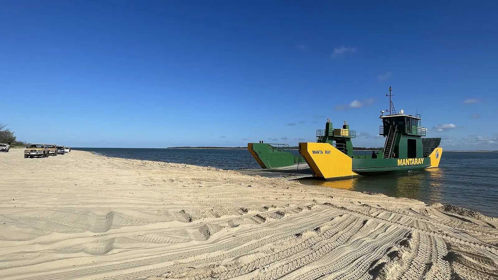
The Inskip side needs extra care this season. Severe erosion has merged the landing's entry and exit tracks into one narrow lane, and QPWS says to travel only within two hours of low tide there until at least 30 January 2027. The Mantaray barge is also running reduced hours. Don't camp or park near the landing: in 2015 a landslip there swallowed a car, a caravan and tents.
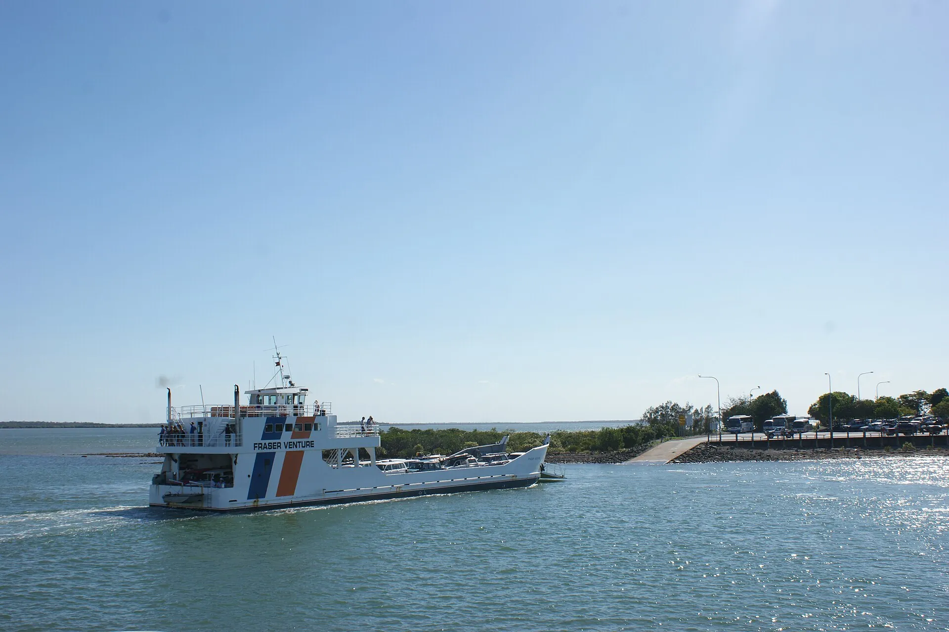
River Heads asks you to check in 30 minutes before departure, and extreme low tides can shift sailing times, says its timetable. Ownership is also changing. Kelsian agreed in September to sell Kingfisher Bay Resort, K'gari Beach Resort and the ferries to Journey Beyond for $145.8 million, the ABC reported. Check fares again close to your trip.
Is 75 Mile Beach really a highway?
Yes. Every beach, inland road and track on K'gari is a designated road, and Queensland road rules apply in full, says QPWS's staying safe page. That means rego, a licence, seatbelts for everyone, keeping left and the usual blood alcohol limit (zero for learners and P-platers). The limits are 80km/h on the beach, 30km/h on inland tracks and 40km/h near pedestrians. Police breath test at any hour.
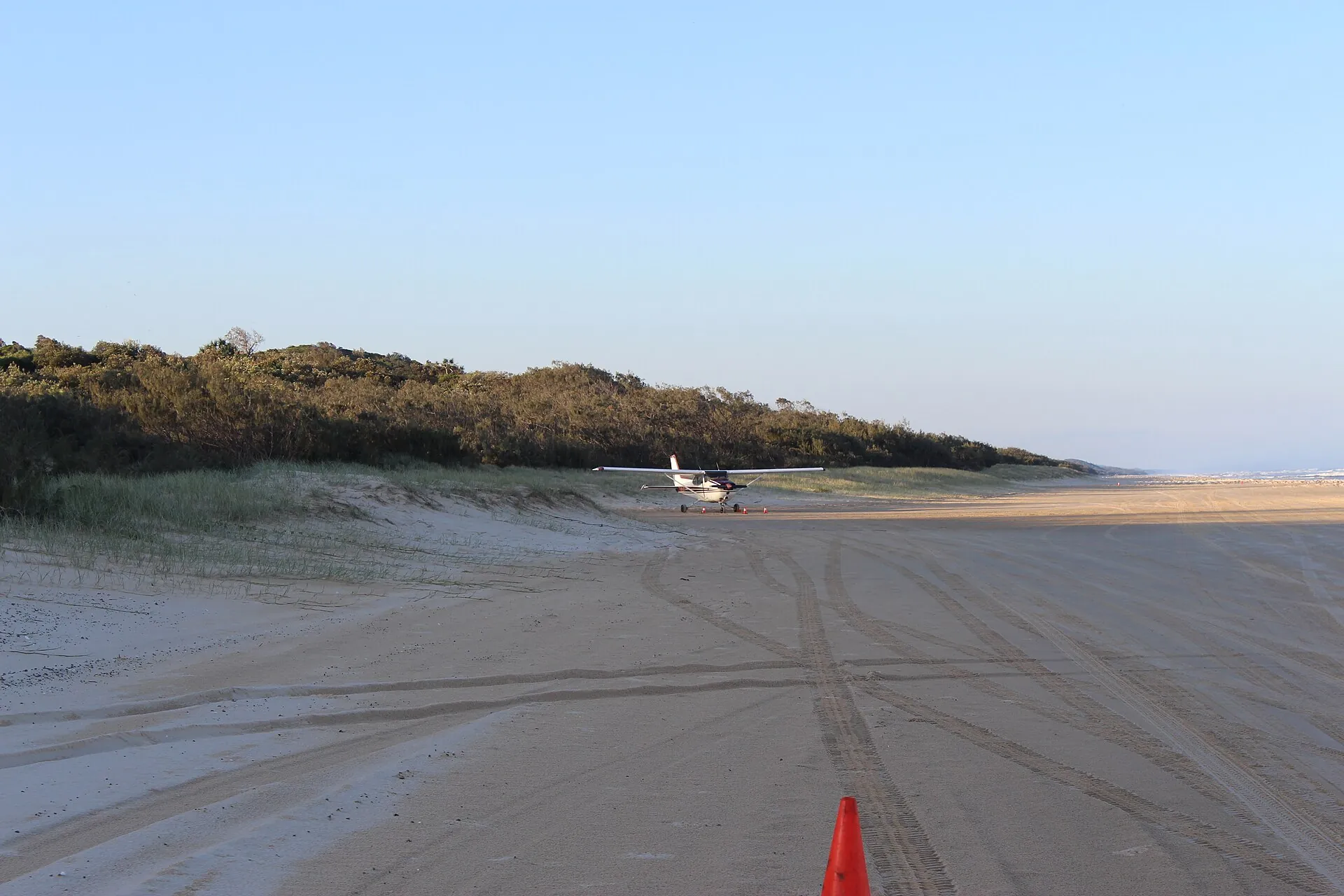
Planes use the eastern beach too. Authorised aircraft land in zones marked with cones and signs, and you must give way to them. Pedestrians, kids running out from behind parked cars and fishers walking backwards with a rod all share the same strip of sand. Treat a busy stretch near Eurong or Happy Valley like a school zone with no footpath.
Drive the tide, not the clock
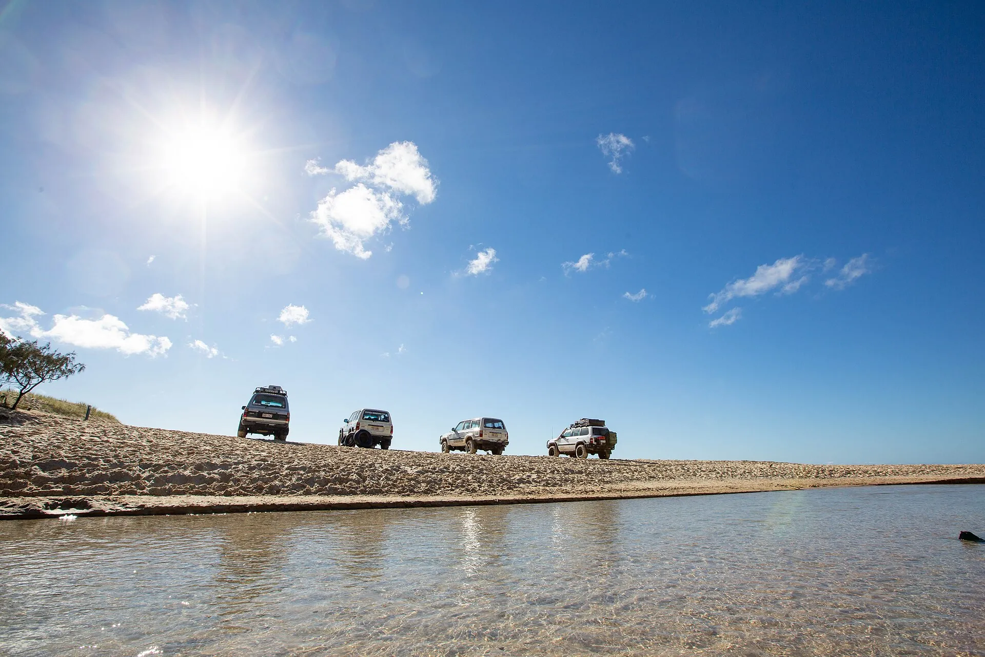
QPWS's rule is simple: drive the beach two hours either side of low tide and stay off it for two hours either side of high tide. That leaves about two four-hour windows a day, and on most days only one of them falls inside barge hours and daylight. Sand near the waterline is usually firmest as the tide drops. On a rising tide, you're racing the water to the next beach exit.
Tides run on a cycle of roughly 12 hours 25 minutes, so the windows move about 50 minutes later each day. A three-day trip can start with a perfect morning window and end with one before sunrise. Plan each beach run around that day's tide, not the clock.
Our illustration only, not a tide table. Rule from QPWS's staying safe page; barge hours from the QPWS getting there page. Check official Queensland tide times for the day you travel.
Creeks are where most trouble starts. QPWS names Eli, Wyuna, Awinya and Coongul creeks, and warns never to stop midstream. Washouts appear overnight after rain or big seas, and coffee rock sits under the sand at headlands. Keep at least three car lengths back, the driving on sand guide says, and don't swerve hard: a lowered-pressure 4WD can tip over quickly.
North of the beach camping zones it gets harder. Between Ngkala Rocks and Sandy Cape, sections may be impassable and QPWS says to travel only around the lowest low tides. Day trips to Sandy Cape and back are not advised because you can be stranded between tides. From 15 November to the end of March, driving north of Ngkala is allowed only between 6am and 6pm to protect nesting turtles.
Tyre pressures and recovery gear
QPWS doesn't give a tyre pressure. Its sand driving guide tells you to stay within the tyre maker's specifications and carry a gauge, a working compressor, traction boards and a shovel. The ferry operator suggests about 18psi for the beach. Treat that as a starting point for a typical wagon on light-truck tyres, not a law. Heavy touring rigs and passenger tyres need their own numbers.
Go too low and a tyre can roll off its rim in a sharp turn, QPWS warns. Air back up before hard sand, bitumen or the drive home. A good tyre deflator makes airing down a two-minute job, and a portable tyre inflator matters more here than almost anywhere. Our all-terrain tyre guide covers which tread suits sand and highway equally.
- Spare tyre in good condition, plus a gauge and compressor
- Snatch strap, tow rope and rated D-shackles, plus traction boards (see our Maxtrax vs cheap recovery tracks test)
- A long-handled shovel and a tide chart for every day of the trip
- Water, food and a charged phone, because help can take hours
If you're properly stuck, K'gari Offroad Recovery runs a 4WD tilt tray based on the island on 07 4194 9444, recovering in daylight hours. It doesn't publish prices. QPWS's line on recovery gear says it all: carrying it may save you the cost of an expensive recovery. Tow trucks can take many hours to reach the northern beaches.
Can you take a caravan or an AWD?
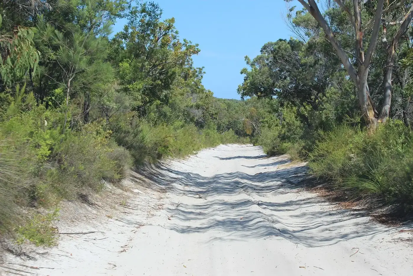
No, and don't try. QPWS says high-clearance 4WDs with low range are essential, all-wheel-drive vehicles are not recommended and caravans are not suitable for K'gari. Off-road camper trailers are fine only if they have high clearance and suit the tow vehicle. The current conditions report repeats it: no AWDs, low-clearance trailers or caravans. Leave the van on the mainland and take a swag.
That rules out the soft-roader with a part-time rear axle, however capable the ads make it look. Hire 4WDs have their own rules from Queensland's Department of Transport and Main Roads: no more than eight seats, no side-facing seats, and nothing stored above the top of the door frame or on the roof. Some hire firms' tide rules are stricter than QPWS's.
Wongari: the rules and the new fines
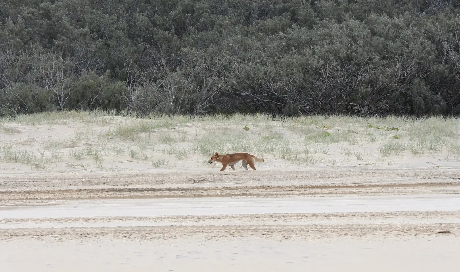
The fines rose on 1 July 2026. Feeding or disturbing a wongari now costs $2,763 on the spot, up to a maximum of $28,495. Leaving food unsecured or fish scraps unburied costs $518, up to $6,908, says the QPWS dingo-safe page. Keep children within arm's reach, walk in groups, carry a stick outside fenced areas, never run and never keep food in your tent.
The 2025 figure is almost four times 2022's, and that was before January 2026. Food is what draws wongari to people, which is why the fines target feeding and unsecured food.
Figures reported by the ABC in March 2026 from Queensland Government data. About 200 wongari live on the island.
The reason is grim. Canadian backpacker Piper James died on the eastern beach in January 2026, and the coroner found she drowned in the setting of injuries from a dingo attack. Eight wongari were euthanased. The previous death on the island was in 2001. September to November is rearing season, when pups wander near tracks, so slow down.
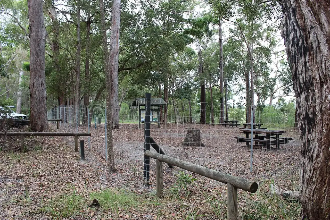
QPWS asks families with children under 14 to camp in a fenced campground. The fenced areas are Central Station, Cornwells, Dundubara, Eli, Lake Boomanjin, One Tree, Wongai, Waddy Point (top) and Wathumba. Bury fish remains at least 50cm deep, and keep rubbish locked in the car or in the bulk bins inside fenced areas. A wongari can open a soft cooler bag faster than you can.
Camping, fires and generators
Camping is in QPWS areas only, and the permit must be bought before you set up. Bookings open 12 months out, and peak periods fill early, so book now for the summer holidays. Display your booking number at your site. Beach camping zones 1 to 8 have limited access after coastal surge damage, and zone 9 (Diray and Carree) is closed until 29 January 2027.
Open fires are banned except in QPWS fire rings at Dundubara and at Waddy Point (top and beachfront). In 2020 a campfire that wasn't put out properly started a fire that burned about half the island, the ABC reported. Most parks ban generators, and where they're allowed the limit is 2.0kVA. A 12V fridge on a solar-charged battery beats an esky full of melting ice and an angry neighbour.
Fuel, phones and help on the island
Fuel on the island costs far more than on the mainland. On 23 October, diesel sold for 380c to 395c a litre at the five island outlets, against about 283c at Rainbow Beach. None of them sell autogas. Shops generally open 8am to 5pm, EFTPOS isn't available everywhere and mobile coverage drops out, especially on inland drives. QPWS's map marks reception for Telstra only.
Filling an 80-litre diesel tank costs about $304 at 380c a litre on the island, against about $226 at Rainbow Beach. That's roughly $78 a fill, or about 35 per cent more. Fill up before the barge and carry what you can legally and safely store.
Prices reported through the Queensland Government fuel price reporting scheme on 23 October 2026. Our calculation for the 80-litre fill. Unleaded showed a similar gap: 340c to 380c on the island against 234c to 250c on the mainland.
In an emergency, call 000, or 112 when you have no service. The Happy Valley ambulance station is staffed 7am to 5pm, with officers on call outside those hours, says the Fraser Coast Regional Council. Eurong police take non-urgent calls on (07) 4127 9288. Write those numbers down on paper, because your phone may not get a signal when you need it.
What's closed right now
Plenty, and closures change weekly. These were current on the QPWS alerts list and the conditions report of 20 October 2026. Check both again the night before you go, because a washed-out ramp or a bridge closure can turn a two-hour trip into a six-hour detour. Hook Point's inland road also carries a 50km/h limit.
| Site | Status | Until |
|---|---|---|
| Northern Forests scenic drive | Closed | 7 Sep 2027 |
| Tukkee Wurroo (Indian Head) walking track | Closed, severe erosion | 18 Nov 2026 |
| Happy Valley beach ramp | Rebuilt, detour via Happy Valley Back Track | 14 Dec 2026 |
| Northern Road (Urang Creek) | Partly closed, bridge failure | 29 Dec 2026 |
| Beach camping zone 9 | Closed | 29 Jan 2027 |
| Inskip barge landing tracks | Single lane, travel near low tide | 30 Jan 2027 |
| Moon Point | Closed to vehicles, boat access only | Further notice |
| Turtle nesting season | Drive with care; night curfew north of Ngkala | 1 May 2027 |
| Drones at Lake McKenzie | Banned | 10 Dec 2026 |
Source: QPWS park alerts on the getting there page and the K'gari conditions report, both checked 23 October 2026.
Where the tide windows are worth spending
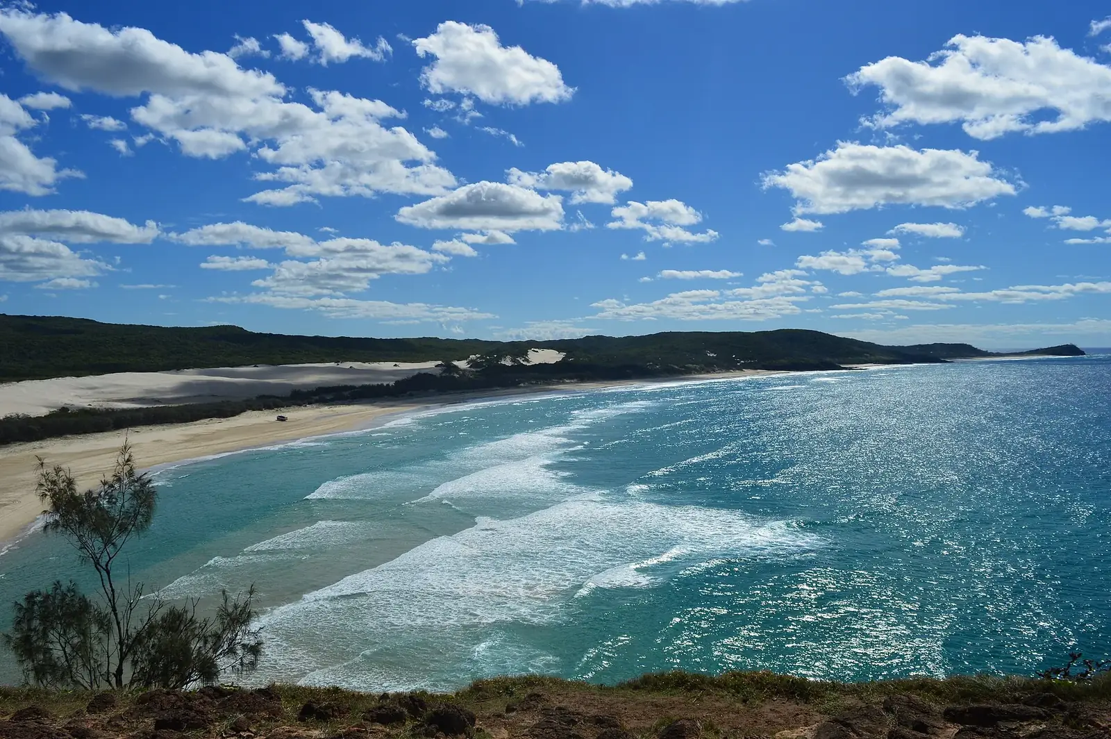
Eli Creek pushes about 80 million litres of fresh water into the sea every day, and its boardwalk is a 400m return walk. Park well above the tide line and clear of the creek mouth. Further north, the rusting Maheno has sat on the beach since it went ashore in a 1935 cyclone. It's a striking stop at any tide, but keep clear of the surf around it.
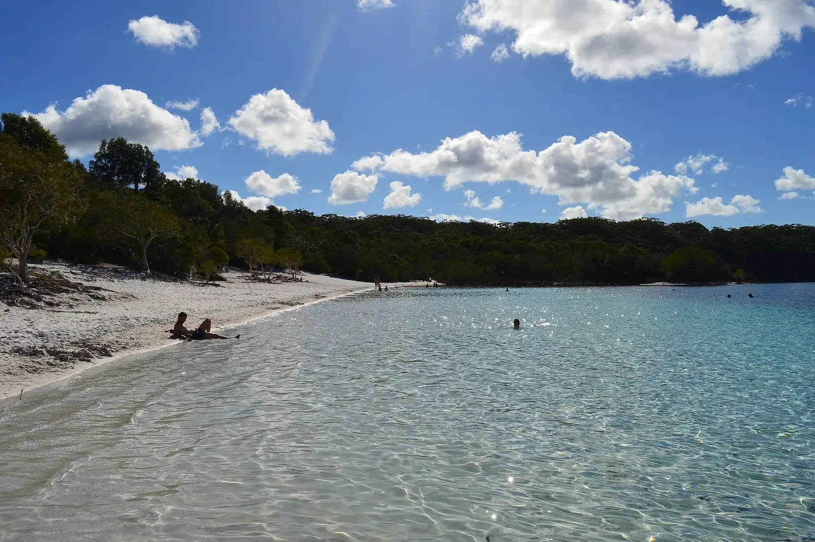
Inland, Boorangoora (Lake McKenzie) is the postcard shot, but food and drink other than water are banned at the lakeshore and the bottom drops off suddenly. The Lake Wabby walk starts 4.1km north of Eurong. Swim in the lakes and creeks, not the ocean: there are no patrolled beaches on K'gari, and QPWS warns of rips, sharks and stingers.
The wash-down debate
The Butchulla Aboriginal Corporation's 20-year biosecurity strategy, released in May, calls for vehicle wash-downs and detector dogs to keep weeds and pests off the island. Environment Minister Andrew Powell told the ABC in October there are currently no plans for mandatory checkpoints. So for now there's no new entry rule, as 4X4 Australia also noted.
Wash your car anyway. Wash-down bays already operate at Rainbow Beach, Hervey Bay and Kingfisher Bay Resort, and the salt will do more damage to your chassis than any weed seed. Clean the underbody when you get back too. If K'gari's World Heritage listing ever comes under real pressure, a compulsory wash-down will look like the cheap option.
Book the permits, print the tide times and air down before you roll onto the barge. Do that, respect the wongari, and K'gari is one of the great drives in Australia: almost 140km of beach from Hook Point to Sandy Cape, with freshwater creeks and rainforest a short track away. Treat it like a beach car park and it will cost you a recovery bill, a fine or a lot worse.


 4WD guide: permits, barges, tides and 75 Mile Beach rules, tyre pressures, camping and the new dingo fines.)