
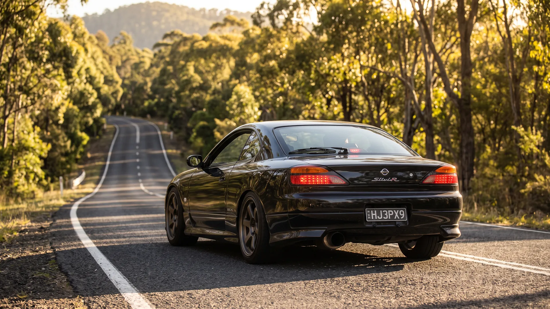

Every guide to the Putty Road is written for motorcyclists. Search it and you get riding lines, lean angles and where the Highway Patrol sits. Useful, if you are on two wheels. Less so if you are working out whether the thing is worth a Sunday in a car, and what it asks of one.
It is worth it. But the Putty is not a scenic cruise with a cafe in the middle, whatever the tourism copy suggests, and the gap between its reputation and its real demands is where drivers come unstuck. Go expecting the Great Ocean Road with trees and it will correct you around the ninetieth corner.
The Putty at a glance
Everything below in one card. If you read nothing else, read the fuel row and the reception row, because those two catch out more first-timers than the corners do. The route runs south to north here, Sydney side to Hunter side, which is the direction most people drive it and the direction the corners flow best in.
Putty Road Essentials
The numbers that should shape how you drive it
This is the part the tourism pages leave out. Reporting by the Newcastle Herald in 2016 counted three deaths and 73 serious injury crashes since the start of 2015. NSW Police then ran Operation Silverstone from September 2015 and the count fell to zero deaths and 26 injury crashes. Enforcement, not engineering, did that.
Hunter police’s Senior Sergeant Tony Grace was explicit that cars were in scope, saying police “were targeting the road and anyone using the road, whether that be a car or a motorcycle.” Those figures are a decade old now, so read them as the road’s character rather than this year’s scoreboard. The character has not changed.
Loud exhausts draw attention here for the same reason they do anywhere, and the current defect notice regime has no sympathy for enthusiast cars on roads police already watch. If your interest is a number on the dash, the Royal National Park guide makes the same point about a road closer to home.
What to sort before you leave Windsor
Tyres do most of the work here, and damp patches under canopy combined with repeated cornering loads punish anything marginal. Check pressures cold before you leave, and look honestly at tread against the 1.5mm minimum, because wet grip fades long before the wear indicators appear. Brakes cop more than the distance suggests, with repeated heavy applications and almost no cooling between them.
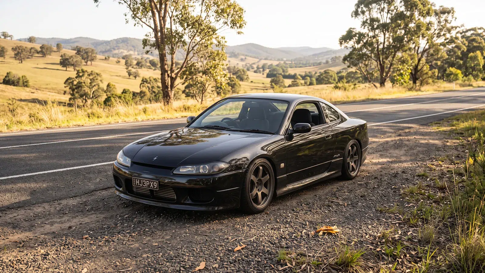
An S15 makes the case better than a spec sheet would. It’s not quick by current standards, which is half of why it suits the place. Light, rear-drive, a manual, and enough feel through the wheel to tell you what the front is doing when a corner tightens. You spend the day using the road instead of chasing a number. They are twenty-five years old now though, so everything above about brakes and tyres counts double.
It’s usually more fun to drive a slow car fast, than a fast car slow.
Wilberforce to the Colo River: the warm-up
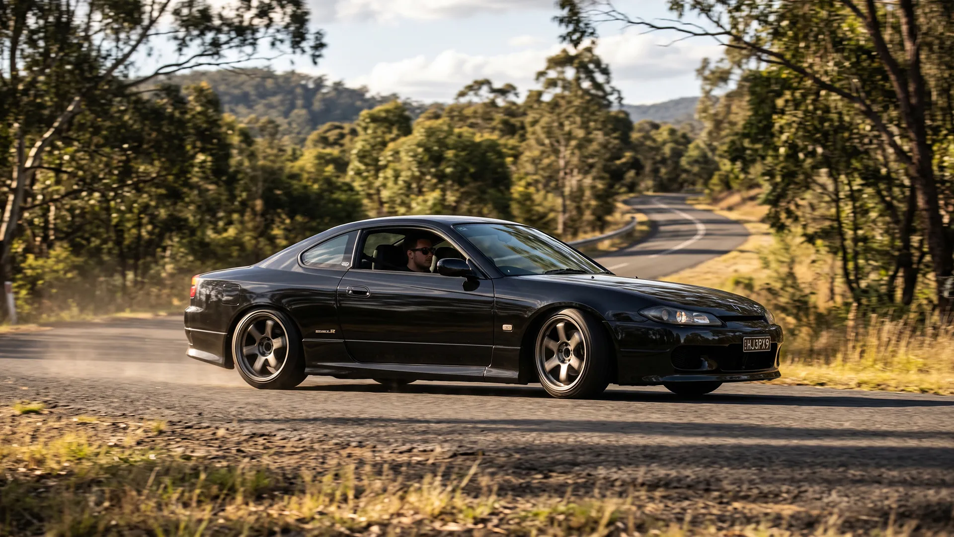
The opening stretch gives you fast sweepers and a steep descent toward the Colo River, complete with a truck arrester ramp that tells you exactly what heavy vehicles do on this grade. There is a sharp left at the bottom that punishes anyone still admiring the view, and it arrives earlier than the run-in suggests it should.
From Colo the road climbs again toward Colo Heights on a better surface with corners that open out. Worth knowing before you commit: the slopes through this valley have needed repeated emergency pavement and slope repairs, so conditions here change more often than on the rest of the route. Fresh patches and temporary surfaces are normal through this section.
Colo Heights to Grey Gums: last fuel, then nothing
Top up at Colo Heights whether or not you think you need it, because this is the last convenient fuel for a long stretch. Roughly 6km before it, watch for the Bra Tree, a roadside breast cancer awareness landmark that doubles as a distance marker when nothing else out there tells you where you are.
North of Colo Heights the road opens into long straights and fast sweepers. This is where the wildlife count climbs, with wallabies, kangaroos, wombats and deer all using this stretch, and dawn and dusk are precisely when you do not want to be pressing on. It is also where reception disappears and does not come back.
That matters more than it sounds. The Motorcycle Council of NSW publishes a guide to emergency phone locations along the road, which tells you something about the road that no amount of prose about sweeping bends will. Tell someone your route and timing before you go, carry water, and do not count on calling for help from anywhere near the Ten Mile.
The Grey Gum International Cafe at 8679 Putty Road is the halfway institution and genuinely the only substantial stop through the middle. It is motorcycle-oriented by tradition and volume, though nobody minds what you turn up in. Singleton Council also warns that trucks use this road heavily, and sharing a blind crest with one is standard.
The Ten Mile: 99 corners and nowhere to go
Sixteen kilometres north of Howes Valley the road tightens into the section everyone comes for. Australian motorcycle writer Boris Mihailovic’s guide to the road counts 99 corners in that stretch, from fast sweepers down to the sharp hairpins riders call the Snake Guts, plus a crested corner known as Batman Corner that climbs then drops away beneath you.
Two things make it demanding rather than merely entertaining. Decreasing-radius corners that tighten after you have committed, and long stretches with rock wall one side and Armco the other, with no run-off worth the name. In a car that means a mistake has nowhere to go, and the sequences arrive fast enough that reading ahead beats reacting.
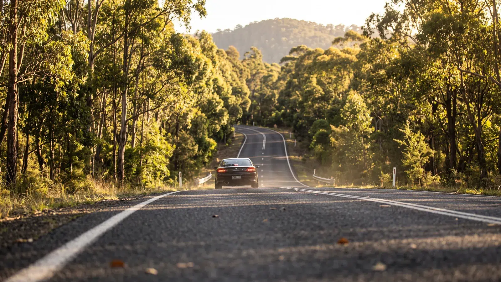
Fallen trees can happen after wind, and the surface holds damp under the canopy where sun never properly reaches. The final stretch north stays wet long after rain has passed, and moss builds on the shaded sections through the colder months. That is much of why spring is the sensible time to do this rather than July.
The Ending, and the bypass about to change it
Out of the Ten Mile the road runs through Milbrodale toward Bulga, where the Bulga Tavern is the traditional finish. Take the eastern exit instead and the Wollombi Hotel is the alternative. For camping, Colo Meroo campground sits back down in Wollemi National Park, walk-in only with a minimum 2.5km carry and bookings required.
The northern end is about to shift. The $700 million Singleton Bypass, an eight-kilometre stretch with a full interchange at Putty Road, is on track to open late this year, and Regional Transport and Roads Minister Jenny Aitchison says it takes 15,000 vehicles a day out of Singleton’s CBD. If you remember the northern end as an anticlimax of roundabouts, that is about to disappear.
When to go, and who should not
If you want a relaxed day with villages and somewhere to eat every half hour, this is the wrong road and the Grand Pacific Drive is the right one. The Putty gives you two national parks worth of trees and one cafe. Passengers who get carsick will hate the Ten Mile specifically and tell you so.
Go early and go in spring or autumn. Summer brings fire risk and closures, winter puts moss and standing damp on the shaded corners, and weekends bring both bike traffic and the patrols that follow it. A weekday morning start out of Windsor gets you through the Ten Mile before the road fills up.
The Putty earned its reputation twice over, once for the best sequence of corners within reach of Sydney and once for the crash record that came with it. Drive it for the road rather than the number on the dash and it is one of the great days out in New South Wales. Treat it as a proving ground and it has a long history of proving the point.


