


The answer to the headline is unsatisfying and completely reliable: do 60. Lady Wakehurst Drive is a 60km/h zone, Sutherland Traffic and Highway Patrol work it hard, and the local paper carries a steady supply of stories about drivers who found that out the expensive way. There is no clever version of this.
What follows is the useful part. The Nasho is genuinely one of the best roads within an hour of Sydney, and knowing how it is structured, what it costs and where the real hazards sit makes it a far better day than treating it as a chance to find out what your car does.
It is two roads, not one
Almost every guide to this drive bundles the Sea Cliff Bridge into the Royal National Park. It is not in the park. The bridge sits on Lawrence Hargrave Drive between Coalcliff and Clifton, roughly 10 kilometres south of Helensburgh, and it is part of the Grand Pacific Drive rather than anything the National Parks service manages.
The distinction matters because the two halves have different rules, different hazards and different costs. Inside the park you pay an entry fee and drive a 60km/h forest road that is patrolled properly. South of Otford you are on a public coastal road with tourist traffic, cyclists and some of the worst parking behaviour in New South Wales.
Section by Section
Farnell Avenue and the fee nobody budgets for
Entry to Royal National Park costs $12 per vehicle per day. You can pay at the Audley Visitor Centre, at vehicle entry stations, at pay machines or through the Park’nPay app, and there is an annual pass if you intend to come back. Vehicles carrying more than eight people are charged per person instead.
People do get caught out by this, usually by assuming a drive-through does not count. It does. The fee applies whether you stop at Audley or simply run the length of the park to Otford, and enforcement of it is entirely separate from anything the highway patrol is doing. If you are going to make a habit of the drive, the annual pass pays for itself inside a handful of visits.
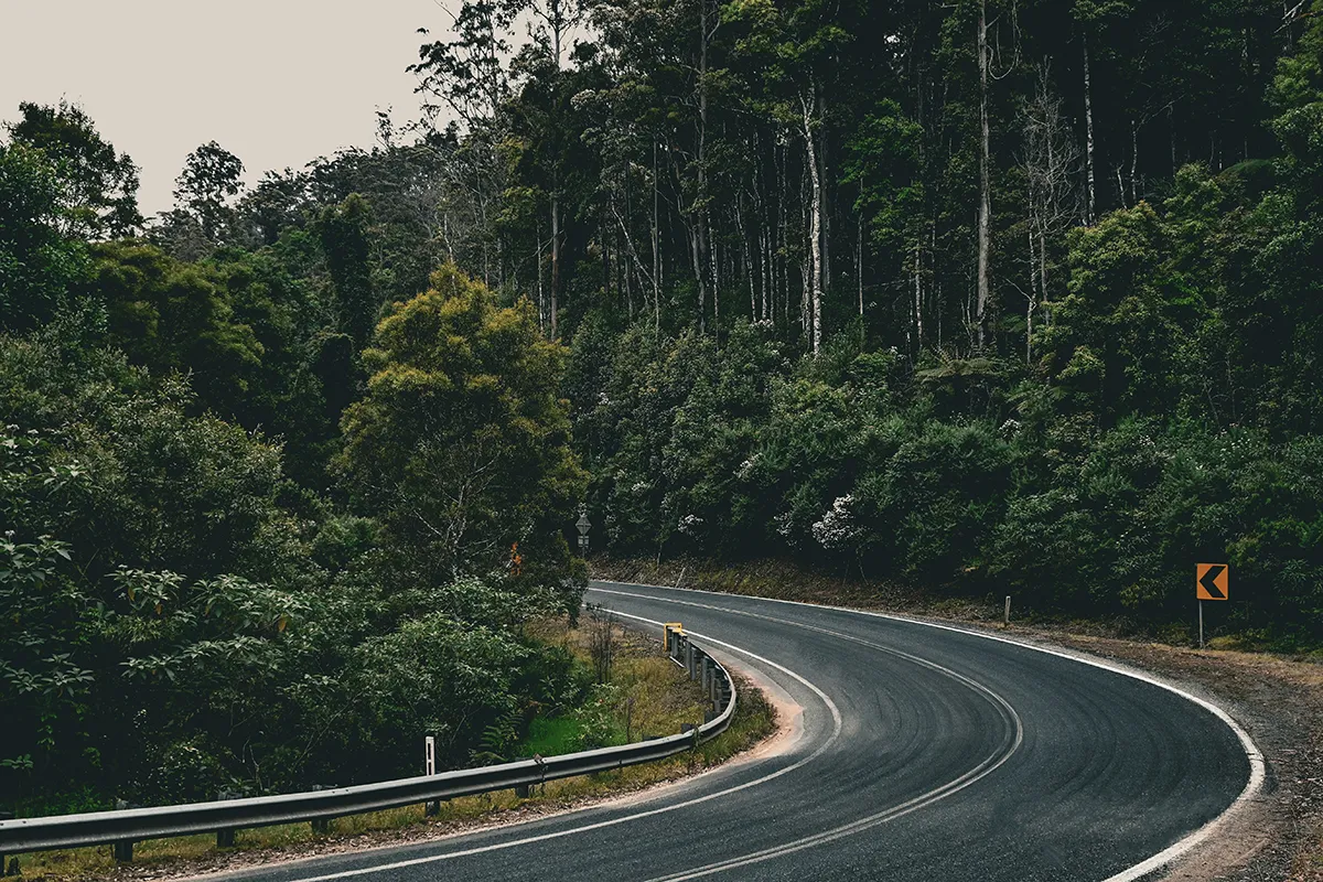
Farnell Avenue drops you off the Princes Highway at Loftus and down toward the Hacking River. It is the gentlest part of the drive and the point at which most people are still adjusting to how narrow and shaded these roads are. Take the descent as a warm-up rather than an opening statement.
Sir Bertram Stevens Drive
This is the section that flatters a car and gets people into trouble. It runs from Audley south through the middle of the park, and the combination of good sightlines, decent surface and very little intersection traffic makes it feel considerably faster than the posted limit allows. That feeling is the entire problem.
It is also where the consequences have been most serious. Emergency services were called to Sir Bertram Stevens Drive around 11 kilometres from Sutherland after two cars and three motorcycles collided, a crash in which one rider died at the scene and two more were taken to hospital, one of them in a critical condition.
That is the context missing from most write-ups of this road. The enforcement here is not revenue theatre bolted onto a nice piece of tarmac. It follows a genuine history of people being seriously hurt on a narrow forest road with oncoming traffic and no run-off. Understanding that changes how the patrol car at the lookout reads, and it is a more useful thing to carry than a grudge.
Lady Wakehurst Drive, and what actually happens here
Lady Wakehurst Drive carries a 60km/h limit and is the section Sutherland Traffic and Highway Patrol target most consistently. The reported detections are not marginal. Local coverage has documented a Toyota 86 clocked at 117km/h in the 60 zone, with the driver’s licence suspended for six months, and a Mitsubishi Lancer Evo at 131km/h.
Convoy driving attracts particular attention, with groups recorded above 100km/h in the same 60 zone. Six P-platers lost their licences over street racing in the park, and at least one driver had their number plates confiscated. None of that is a police tactic worth outsmarting; it is the predictable result of a well-known road being treated as a track.
For anyone on a provisional licence the maths is worse again, because a suspension arrives faster and the vehicle restrictions already narrow what you can be driving in the first place. A dash cam is worth having here, not to argue with a radar, but for the far more common problem of somebody crossing the centre line on a blind corner.
Out of the park: Bald Hill and the Sea Cliff Bridge
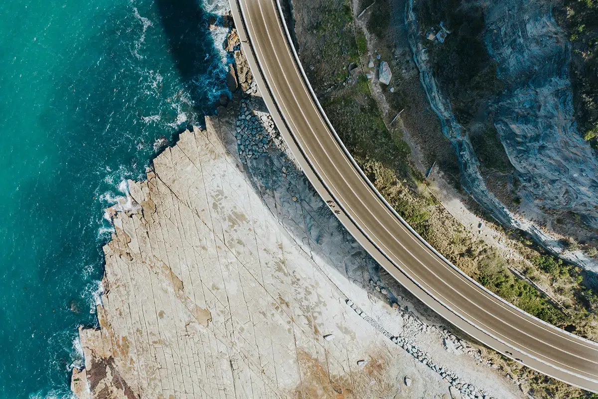
Leave the park at Otford and Lawrence Hargrave Drive takes over. It runs through Stanwell Tops and descends the Illawarra escarpment at Bald Hill, where the lookout gives you the coastline, the hang gliders and the single most photographed view on the drive. Then Stanwell Park, Coalcliff and the bridge itself.
The Sea Cliff Bridge is a genuinely remarkable piece of engineering and a genuinely poor place to drive quickly. It is narrow, it carries constant tourist traffic, and people stop on it. There is a footpath for pedestrians and there are parking areas at either end, which is where you should be if you want the photograph.
This section also connects into the broader Grand Pacific Drive south toward Wollongong, which is the better way to extend the day than turning around and running the park a second time. Doubling back doubles your exposure to everything the park throws at you without showing you anything new.
The hazards that have nothing to do with police
Cyclists are the big one. These roads are a Sydney cycling institution, the lanes are narrow, and the corners are blind. You will come around a bend and find riders two abreast with no warning and nowhere for either of you to go. Plan for it rather than being surprised by it.
Wildlife is the second. The park holds a substantial feral deer population alongside native animals, and a deer strike at any speed is a serious event rather than a dent. Dawn and dusk are the worst windows, which unfortunately overlaps neatly with the quietest and most tempting time to drive.
Then there is the surface. Much of the park road sits under heavy canopy and stays damp long after the surrounding area has dried, so the grip available in the shade is not the grip you had in the sun thirty seconds earlier. Worn tyres turn that into a genuine problem.
Check the current closures and safety alerts before you go. Sections do shut for weather, hazard reduction and maintenance without much notice, and finding out at the gate wastes the early start you got up for. The park sat on four active alerts at the time of writing, which is roughly normal rather than unusual.
How to actually enjoy it
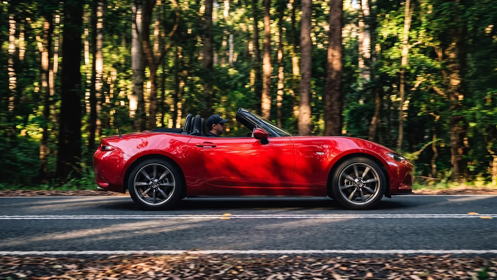
Go early on a weekday if you can. The Nasho at seven on a Tuesday is a different road from the Nasho at eleven on a Sunday, when it fills with cyclists, tourists, families heading for the beaches and, reliably, a highway patrol car parked where the view is good.
Drive it as a scenic route rather than a stage. The road rewards a flowing pace and a bit of attention far more than it rewards speed, and at 60km/h you actually get to look at one of the oldest national parks in the world instead of the next corner.
Build the day around stops. Audley, Bald Hill, a coffee at Stanwell Park and the bridge on foot make a genuinely good Sunday, and none of it depends on how quickly you covered the bit in between. That is a better outcome than the version where you compare it to the Black Spur and try to prove something.
The Nasho is not a road you conquer. It is a road you visit, and the drivers who understand that difference are the ones who still have a licence to visit it with.


