
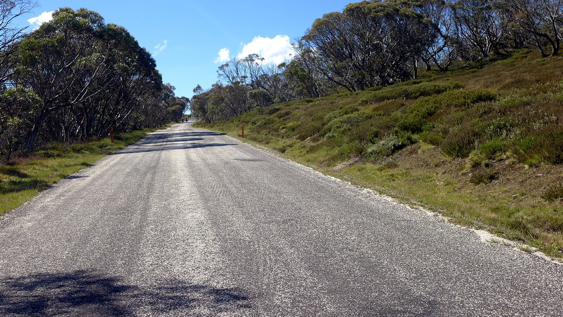

Everyone in Melbourne knows the Great Ocean Road. Far fewer have driven the Omeo Highway, and that's the point: 163km of sealed High Country road from Lake Hume to Omeo, with about 110km between Mitta Mitta and Omeo where there's no town, no fuel and, for long stretches, no phone signal. It's a brilliant drive for anyone who plans ahead, and an unforgiving one for anyone who doesn't. Our Great Alpine Road vs Great Ocean Road guide covers its better-known neighbour.
Where is the Omeo Highway, and is it sealed?
The Omeo Highway is route C543, running about 163km from Tallangatta on Lake Hume to Omeo in East Gippsland, where it meets the Great Alpine Road. It was Victoria's first gazetted state highway, in 1925. The last gravel sections between Mitta Mitta and Glen Wills were sealed in 2014, and The Border Mail reported locals celebrating the sealing at The Walnuts that May.
Sealed doesn't mean manicured. Bikesales warned in 2015 that gravel pulled onto corners by log trucks and caravans was the bigger issue, and locals note fine gravel goes down to break up frost. Storms do damage too. As of 23 October 2026, one lane was closed between Mitta Mitta and Granite Flat for road damage, and flooding closed the road between Mitta Mitta and Glen Valley in August.
About 110km from Mitta Mitta to Omeo with no town and no fuel
Sources: route distances from published C543 kilometre markers; fuel from PetrolSpy station data (22 October 2026) and Visit Omeo; Falls Creek fuel from its FAQ. The Mitta Mitta store last updated its fuel prices in May 2026, so phone ahead. Map is our illustration.
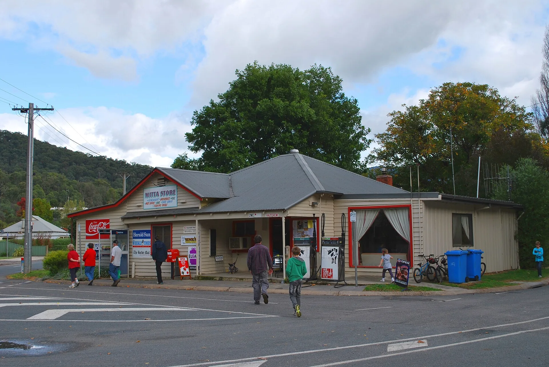
Mitta Mitta to Omeo: the 110km that matters
The northern third follows the Mitta Mitta River valley through farmland and is easy going. South of Mitta, the road climbs into the Alpine National Park, through forest, over the Big River and up past Mount Wills, before dropping to Anglers Rest. Melbourne Sportsbike describes the run from Omeo to Anglers Rest as about 25km of very technical twisties, including 11 linked bends of even radius as you climb away from Omeo.
There's no official corner count, whatever you've read, but you won't be short of bends. Expect a mix of open valley sweepers and tighter climbing corners, and assume there's gravel on the inside of any bend you can't see through. Watch for oncoming four-wheel drives and towing vehicles cutting corners, a warning Melbourne Sportsbike has made for years.
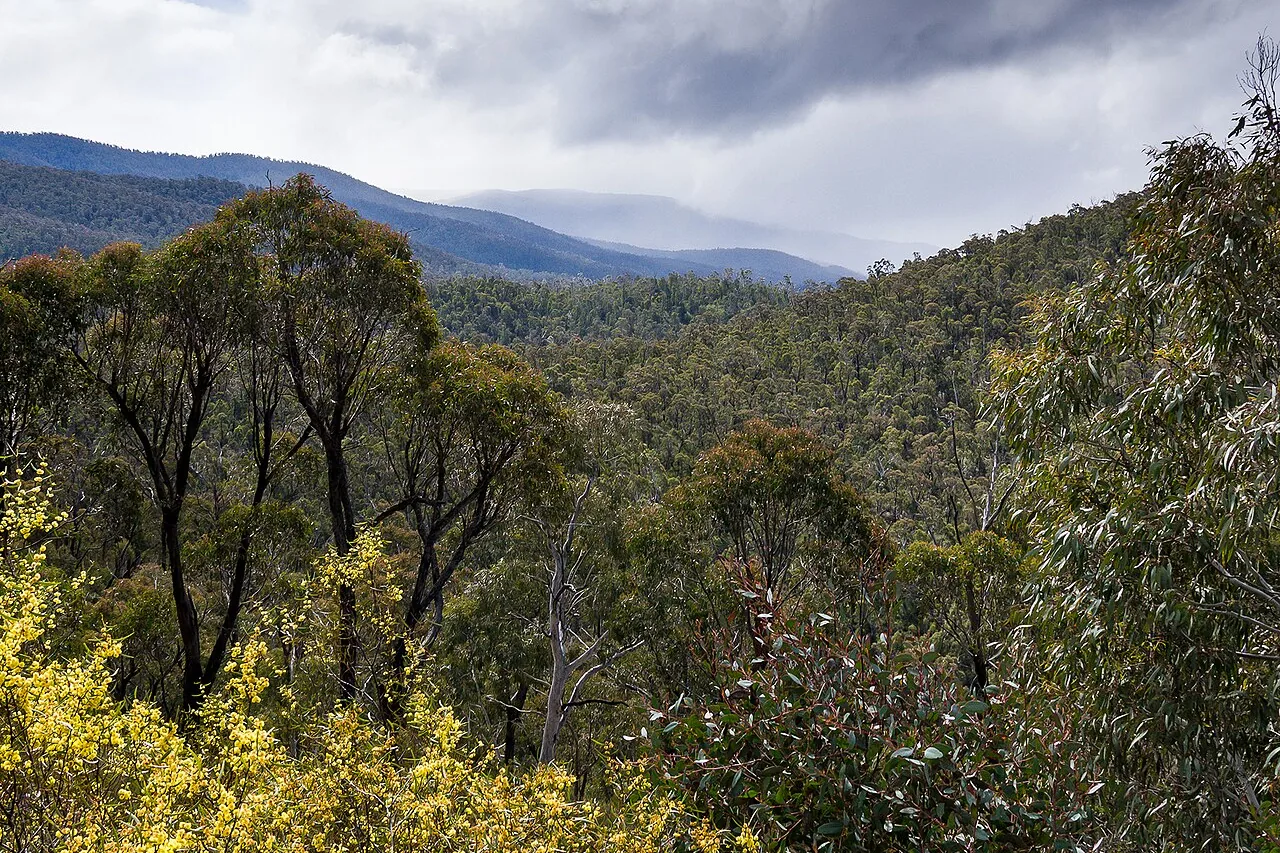
It's worth stopping along the way. Parks Victoria lists a 6km, three-hour return walk to Mount Wills from a car park just off the highway, and the old Glen Wills and Sunnyside mining sites are close by. Further north, the Pioneer Mine at Mitta Mitta was reputedly Victoria's largest open-cut gold mine, and a 1.5km return track explores it.
Is the Omeo Highway dangerous for motorcyclists?
The crash data says it is, for riders in particular. Our analysis of the Department of Transport and Planning's crash records found 139 injury crashes on the Omeo Highway between January 2012 and February 2026. Motorcycles were involved in 113 of them, 81 per cent, and most of those happened on bends. Every one of the 10 crashes recorded in 2025 involved a motorcycle.
Our analysis of the Department of Transport and Planning's Victoria road crash data (dataset updated 13 October 2026), filtered to road name Omeo Highway. Injury crashes only; crashes coded to other road names are not included.
Speed and fatigue both feature. VicRoads' regional director blamed fatigue for a run of crashes after the road was sealed, The Border Mail reported in 2015, while a local motorcycle club figure told the paper in 2016 it came down to speed and skill. The state spent $632,000 in 2016 on rub rails and sign post cushions between the Bogong High Plains Road and Anglers Rest. Ride within your sight lines.
Add the Bogong High Plains Road to make it a loop
At Glen Valley, about 11km north of Anglers Rest, the Bogong High Plains Road (C531) heads west to Falls Creek and Mount Beauty. It was fully sealed in 2009. The Climbing Cyclist measures the climb from the Omeo Highway at 23.4km, with the first 9.1km averaging 8 to 9 per cent, then a mostly downhill run of about 13km around Rocky Valley Dam into Falls Creek.
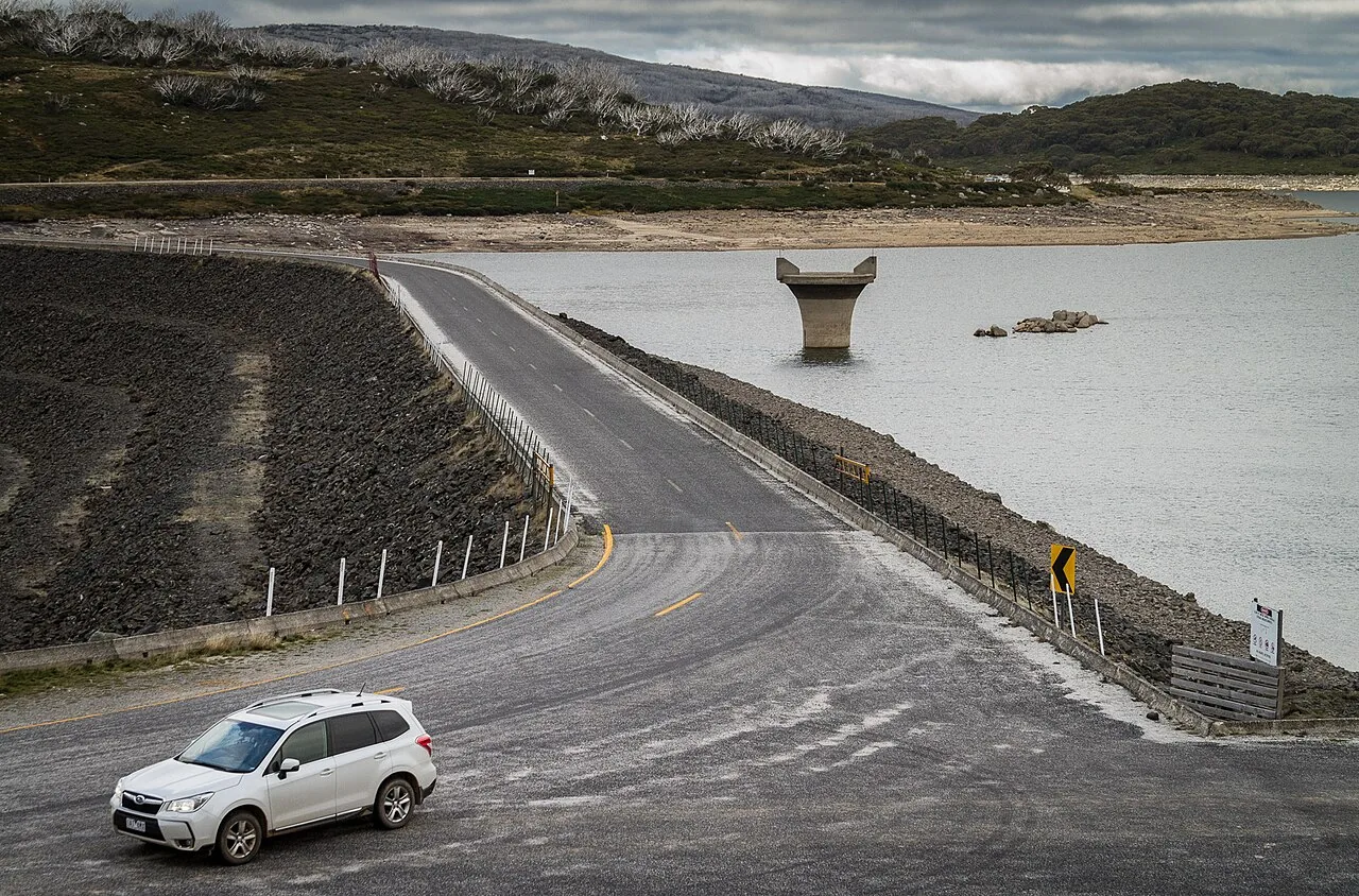
The catch is the season. The section between Falls Creek and Trapyard Gap closes for winter, usually from early June, and the Department of Transport and Planning expected it to reopen on 15 October 2026. A lane was also closed northbound near Falls Creek for road damage, with traffic lights, from August. Check VicTraffic before you commit to the loop.
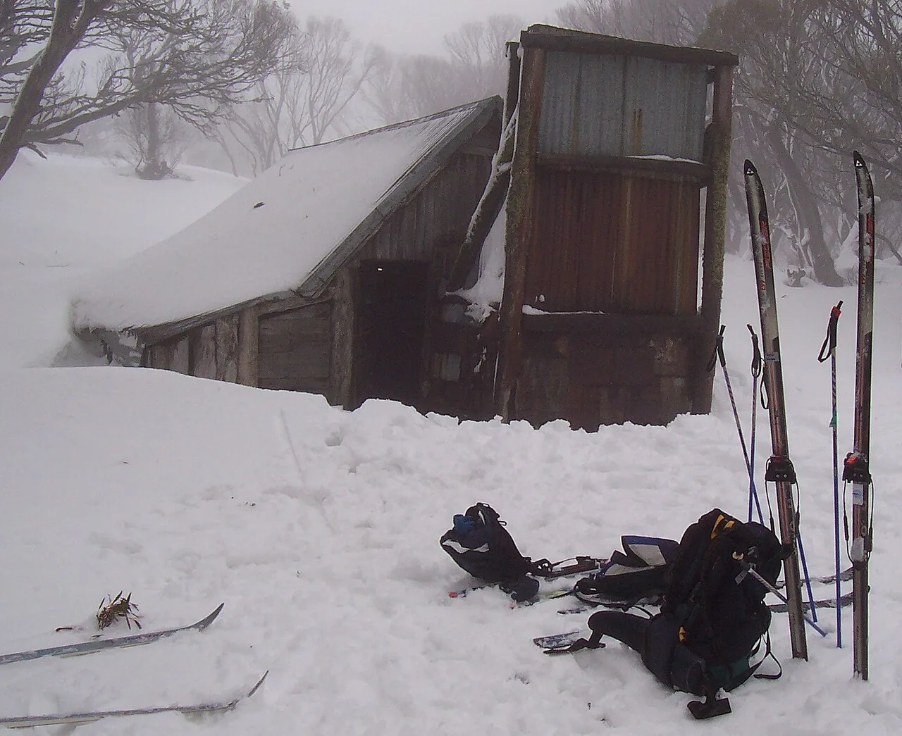
On the high plains, stop at Wallace Hut. Falls Creek says it's the oldest surviving cattlemen's hut, built in 1889 by the Wallace brothers, about 750m from the car park. Falls Creek has no fuel station; Mount Beauty, about 33km down the mountain, is the closest. Mount Beauty to Omeo via the high plains is about 109km.
Where to stop, eat and sleep
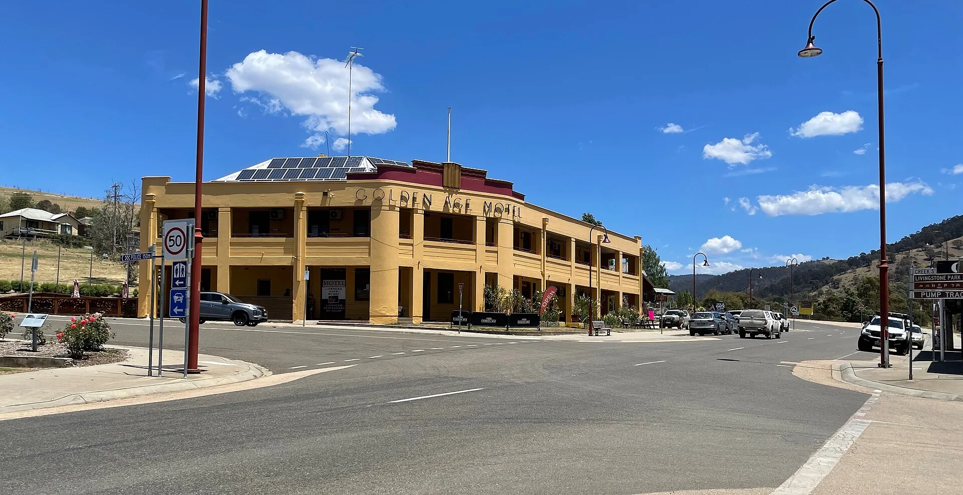
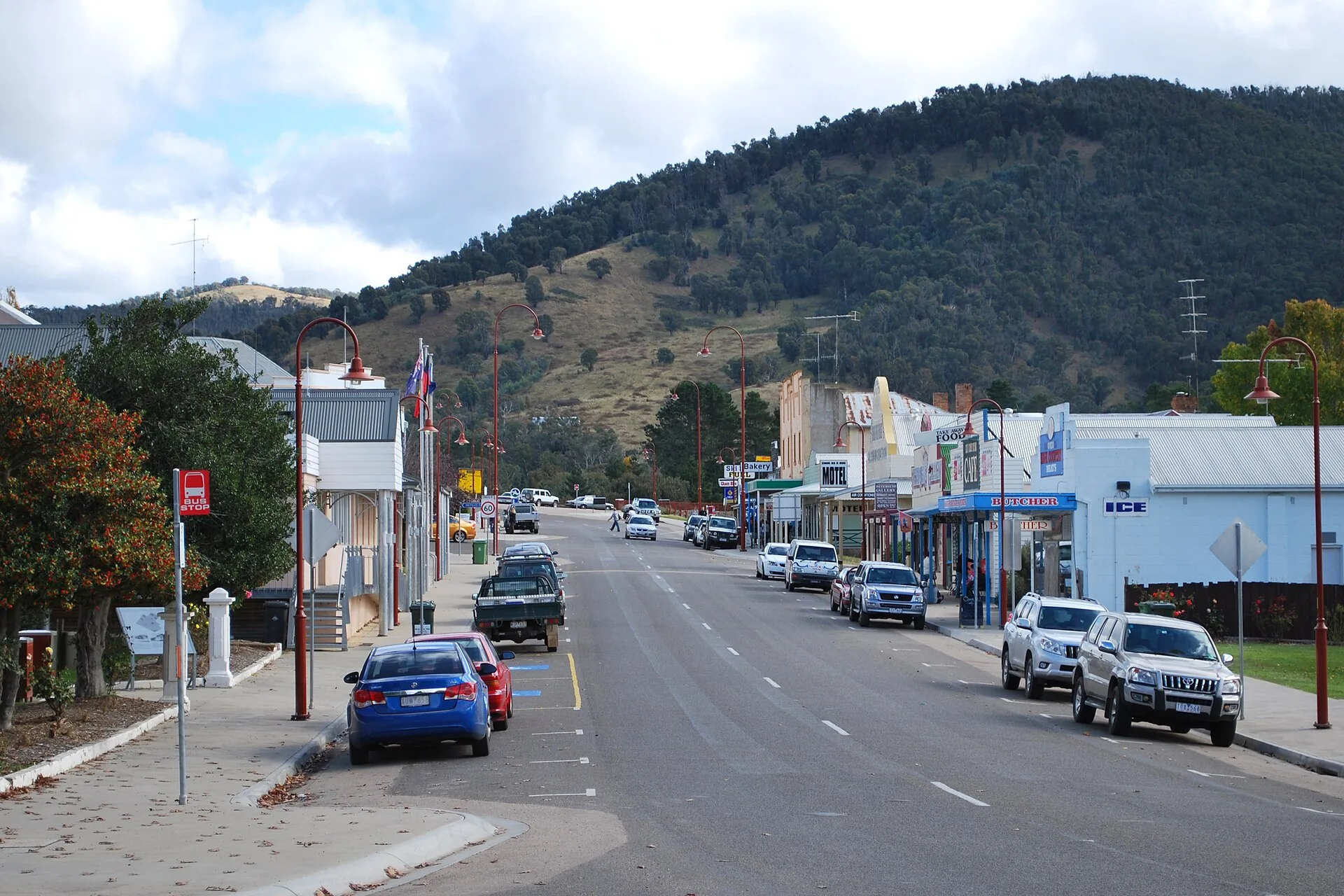
Omeo is the place to refuel your car and yourself. The Golden Age Hotel, built in 1940, serves meals seven days, and the Hilltop Hotel offers free RV and caravan camping on site. Visit East Gippsland also names the Crazy Cow Cafe and Bakery, Pippa's Bakery and the New Rush Brewhouse. Omeo Holiday Park has powered and unpowered sites on two kilometres of creek frontage.
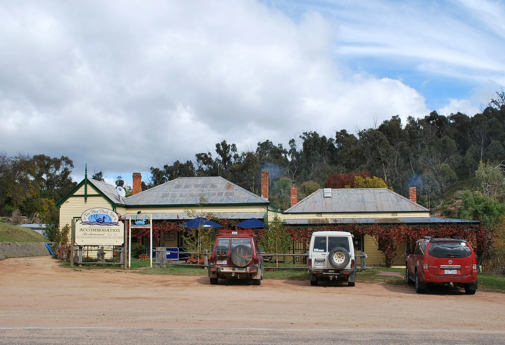
Don't plan your day around the Blue Duck Inn at Anglers Rest. The pub was sold in 2024 to a Melbourne investment group, its old website is now a parked page, and a June 2025 visitor found it closed. Ring ahead, and treat a meal there as a bonus, not a plan. Further north, the Eskdale Hotel offers covered parking for motorcycles.
For campers, Parks Victoria lists campgrounds along the highway at CRB Camp, Anglers Rest, Jokers Flat and Big River Bridge, and most aren't accessible in winter. The Anglers Rest campground has drop toilets and fireplaces, but its sites are small and sloping, so it suits tents and small campers. Dogs aren't allowed. Pack a 12V fridge if you're staying out a few nights.
Fuel, phones and preparing your car or bike
Fill up in Tallangatta or Eskdale and again in Omeo, where a 24-hour self-serve station is always open. The Mitta Mitta store is listed as selling fuel, but its prices hadn't been updated since May 2026, so don't rely on it. Budget for about 110km without fuel from Mitta to Omeo, or about 123km from Eskdale, and more if you're riding a thirsty bike hard.
Phone coverage is patchy. The ABC reported in 2024 that Anglers Rest residents had never had a 4G signal, and a federally funded Telstra small cell there was still listed as in progress in October 2026. Download offline maps, tell someone your plan, and carry water. Riders should consider a personal locator beacon.
Chains aren't legally required on the Omeo Highway itself, but Alpine Resorts Victoria says every vehicle entering Falls Creek must carry chains during the declared snow season, which ran from 6 June to 6 September in 2026. The Department of Transport and Planning advises using a low gear on mountain descents, which matters on the Trapyard Gap side.
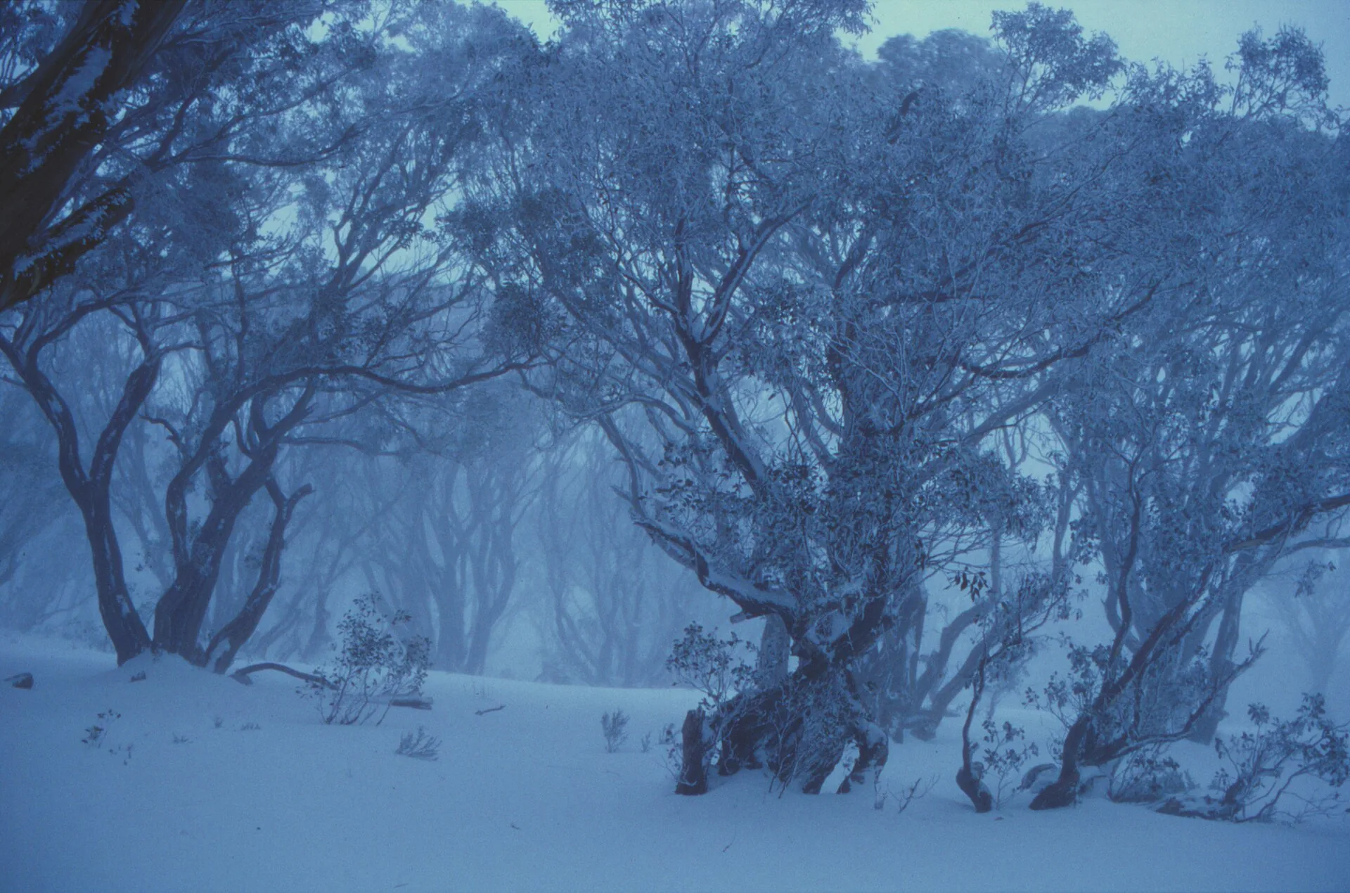
Caravans can use the road, but it isn't ideal. The corners are tight, gravel collects on them and the Anglers Rest sites are small. Parks Victoria warns snow can fall at any time of year on the high plains, so pack a warm layer even in summer. For winter alpine driving technique, our Alpine Way guide covers the basics.
When is the best time to drive the Omeo Highway?
Parks Victoria says the best time to explore the Omeo and Mitta Mitta area is between November and April, when the Bogong High Plains Road is open and the back tracks start reopening, many from 29 October 2026. Summer brings fire risk: the CFA's fire danger period for East Gippsland runs from 5 October 2026 to 1 May 2027. Check VicEmergency before you go, as Parks Victoria closes the park on Catastrophic days.
Within that window, be extra careful in February and March. They're the busiest months for motorcycle crashes in the data, with 47 between them, against a single crash in June. Weekends are busier too, with Saturdays recording the most. If you can, ride or drive it midweek. Combine it with a dirt detour like the Blue Rag Range Track if you've got a capable four-wheel drive.
Done properly, the Omeo Highway is the High Country at its best: empty, beautiful and demanding. Fuel up, slow down for the bends you can't see through, and save the Great Ocean Road for when you've got visitors.


