

You don't need a 4WD for Tasmania's east coast. You need a full tank, a parks pass and the discipline to be parked by dusk. Hobart to the Bay of Fires is about 268km of sealed road on our routing, almost all of it on the Tasman Highway (A3), and the regional tourism body puts the run at around three and a half hours without stopping.
Nobody should drive it without stopping. The state badges the Orford to St Helens stretch as the Great Eastern Drive, and the best of it sits just off the highway: Freycinet's pink granite, a convict-built bridge, two mountain passes worth driving for their own sake and the orange lichen at the far end. Our three-day plan below maps every stop, campground, fuel bowser and fast charger.
Main route, Tasman Highway
Detours
Map and distances by TorquePress using OpenStreetMap routing (OSRM) and Natural Earth coastline data. Distances are cumulative from Hobart CBD and rounded.
How hard is the drive from Hobart to the Bay of Fires?
Easy, provided you respect the daylight. Every road in this guide is sealed, including the 28km Coles Bay Road into Freycinet and The Gardens Road along the Bay of Fires. The challenge is in the detail: a two-lane highway with few overtaking lanes, a rockfall-prone gorge near Orford, two winding mountain passes and wildlife on the road from dusk.
The first climb comes early. Between Sorell and Buckland the A3 tops out at about 340 metres on our elevation trace, then follows the Prosser River down through Paradise Gorge to Orford. The Department of State Growth closed the gorge for six weeks in 2021 to remove about 2,000 tonnes of high-risk rock. It's open and well kept, but it's no place to stop for photos.
Budget for roadworks. The $125 million Great Eastern Drive upgrade has had crews realigning corners between the Coles Bay turnoff and Bicheno since February 2025, and a 1.3km widening north of Triabunna was scheduled to start in 2026. Expect stop-go traffic control and lower limits in both places, and check the Department of State Growth's project page the week you travel.
The bigger hazard has fur. In December 2025, Environment Minister Madeleine Ogilvie asked drivers to slow down “especially between dusk and dawn”, and the same statement noted almost 2,000 animals reported through the state's roadkill app in a year. Plan every leg to finish before sunset. It's the one rule that makes this trip safer, cheaper on panels and kinder to the pademelons.
Day one: Hobart to Swansea, via a gorge and a convict bridge
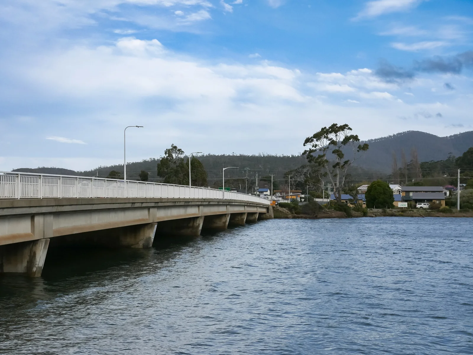
Day one covers 136km and fills a relaxed morning. Leave Hobart over the Tasman Bridge, top up at Sorell and you're in Orford in about an hour. Triabunna, 7km further on, is the ferry port for Maria Island: Encounter Maria Island runs the 30-minute crossing, and a same-day adult return costs $59, plus a parks pass.
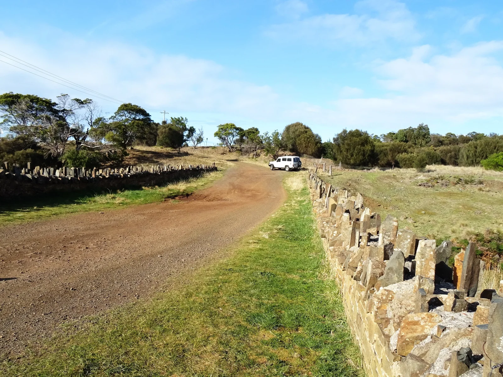
North of Triabunna the highway finally meets the sea, running along Great Oyster Bay with the Freycinet Peninsula on the horizon. About 7.5km short of Swansea, pull in at Spiky Bridge. Convict gangs from the Rocky Hills Probation Station built it between 1843 and 1848, and its dolerite parapet stones stand on end like a row of teeth. Five minutes is plenty, and it costs nothing.
Swansea is the natural lunch stop. Kate's Berry Farm on Addison Street opens 9am to 4pm, Friday to Tuesday, but the business has been listed for sale, so confirm hours before planning around it. Then walk the foreshore: the view across the bay to The Hazards is the one the expensive lodges sell you.
Is the Freycinet detour worth the extra kilometres?
Yes, and it's the one detour not to skip. Turn onto Coles Bay Road (C302) 12km south of Bicheno and it's 28km of sealed road to the park. Freycinet is a national park, so you need a parks pass: $49.15 per vehicle for a day, or $98.35 for a two-month Holiday Pass, which also covers Maria Island and Mount William.
Two stops on the way in earn their time. Devil's Corner cellar door at Apslawn opens 10am to 5pm daily, and its lookout tower gives you a free, wide view over The Hazards and Moulting Lagoon. Closer to Coles Bay, Freycinet Marine Farm sells oysters straight from its own farm, open from 9am most of the year. Either stop is better value than another hour circling the park car parks.
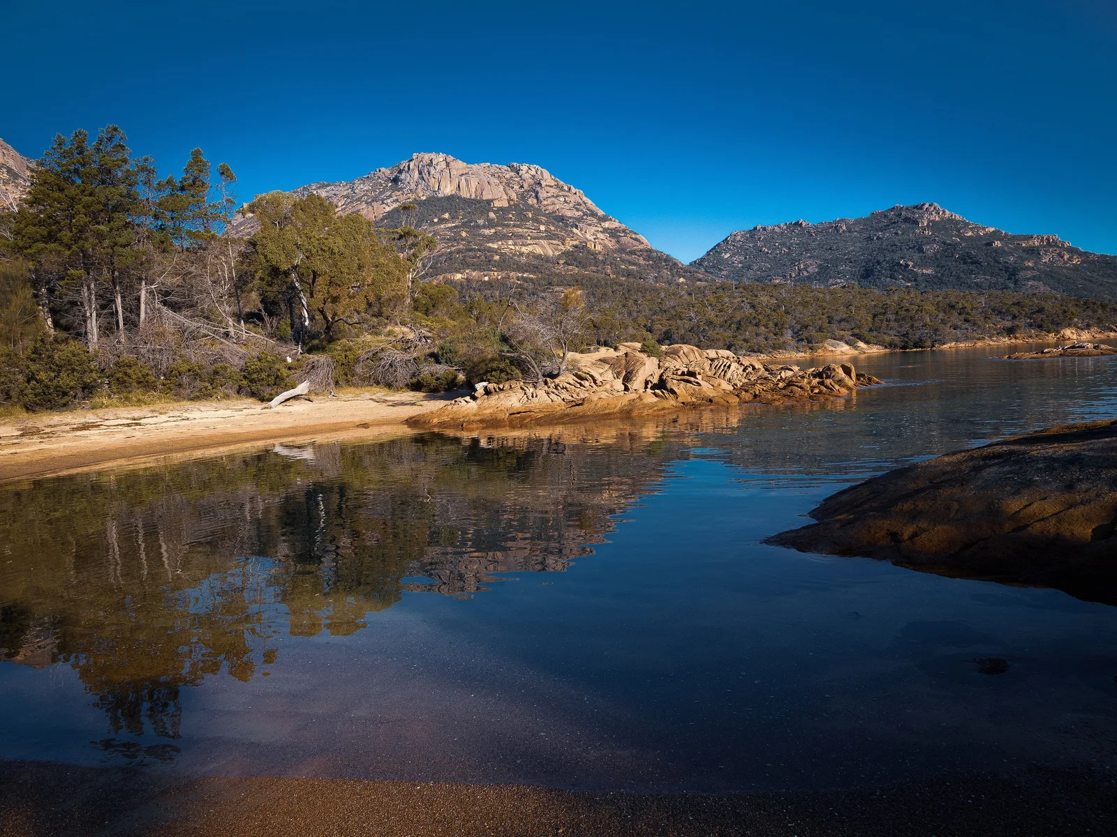
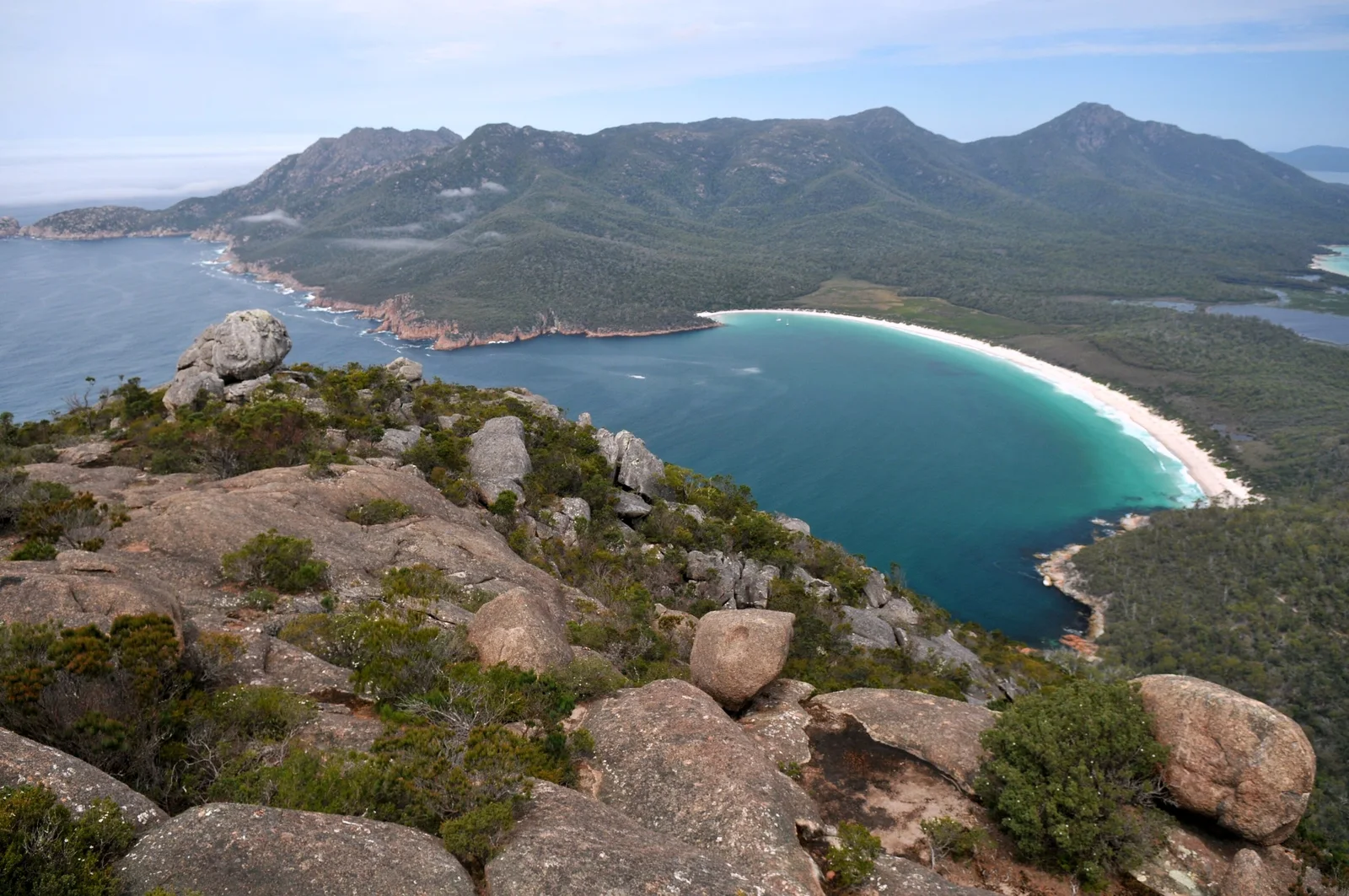
Then walk. The Wineglass Bay Lookout track is 2.6km return and takes one to one and a half hours, with steps and short, steep pinches. Go early in peak season, when the light is softer and the track quieter. Cape Tourville's 600m circuit around the lighthouse takes 20 minutes and gives you the open-ocean side of the peninsula with far fewer people.
Bicheno to St Helens: take the long way over the passes
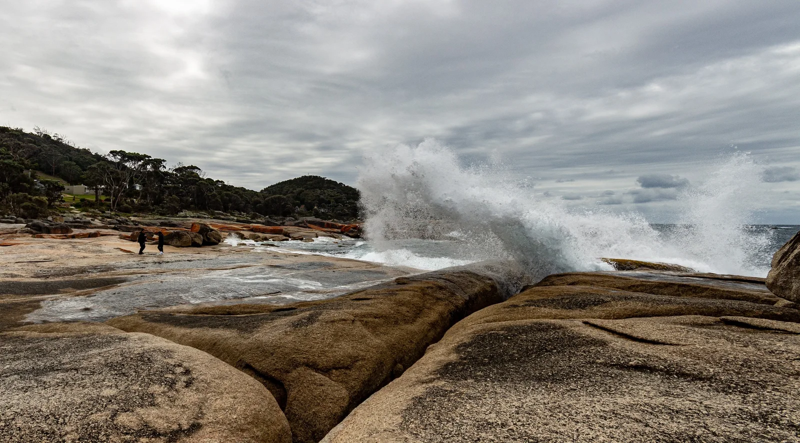
Spend the night in Bicheno. The blowhole on Douglas Street fires best when a swell is running, and Bicheno Penguin Tours runs evening tours from $76 per adult. That also solves the question of where to be at dusk: watching penguins waddle ashore rather than dodging wallabies on the A3. East Coast Natureworld, five minutes north of town, feeds its Tasmanian devils at 10am and 1pm.
Next morning is the driver's leg. The A3 hugs the coast to Scamander, but the better road leaves it just north of Chain of Lagoons Bridge, climbs Elephant Pass to St Marys, then drops back to the sea down St Marys Pass. On our routing the loop is 36km and adds about 20km over the coast road, with roughly 400 metres of climbing in the first 8.5km.
Our calculation: route from OSRM (OpenStreetMap), elevation sampled every 180m from NASA SRTM 30m data via OpenTopoData. Heights are approximate.
The two passes have different characters. Elephant Pass climbs steadily through tall forest with more open bends. St Marys Pass is the tighter one, and the Department of State Growth describes narrow, winding sections, steep slopes and a history of landslides. If you're towing a caravan, stay on the coast road. And don't plan lunch around pancakes: the old Mt Elephant Pancakes shop closed in 2020.
Bay of Fires: where the sealed road runs out
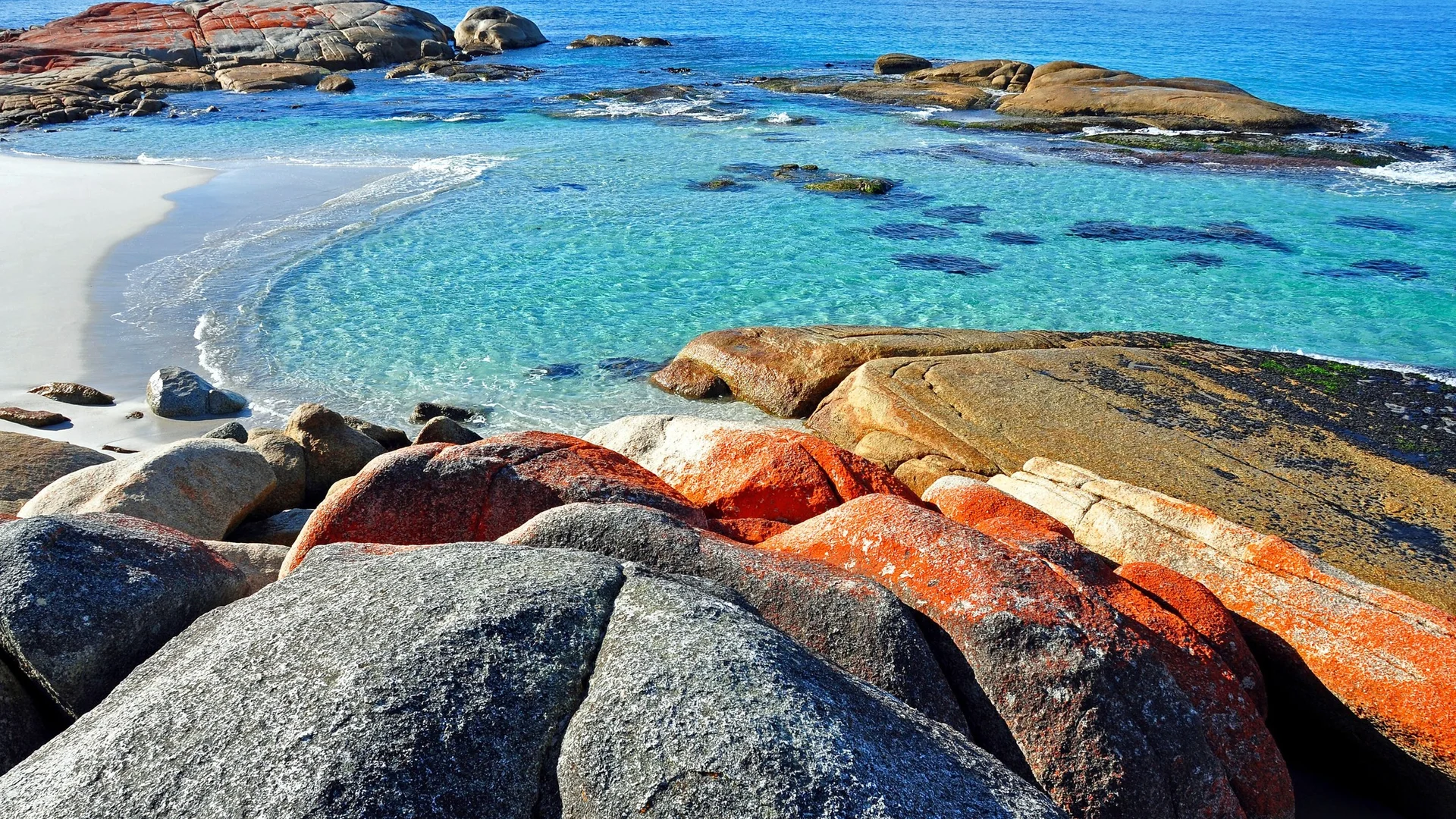
St Helens is the last full-service town, so fill the tank and the esky there. From the town centre, Binalong Bay Road (C850) runs about 11km to Binalong Bay, then The Gardens Road continues north, sealed, until it ends at private land at The Gardens. That's the Bay of Fires most people photograph: granite boulders stained orange by lichen above clear, pale-blue water.
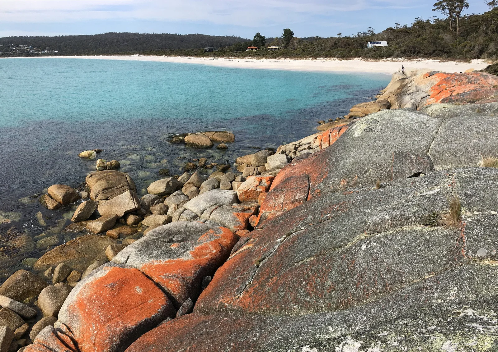
Don't photograph Binalong Bay and turn straight around. Drive the full length of The Gardens Road and stop wherever the beach is emptiest; the campgrounds along it double as beach access points. The northern end of the conservation area falls inside Mount William National Park and needs a parks pass, so keep yours on the dash for the whole trip.
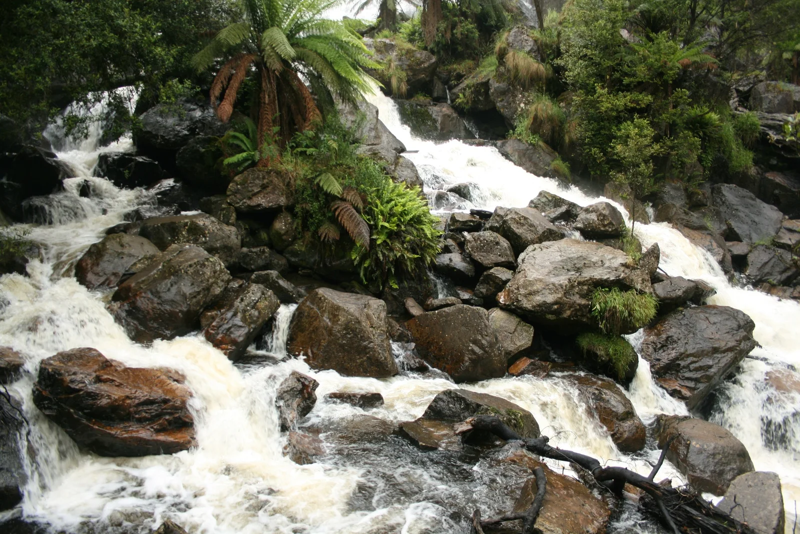
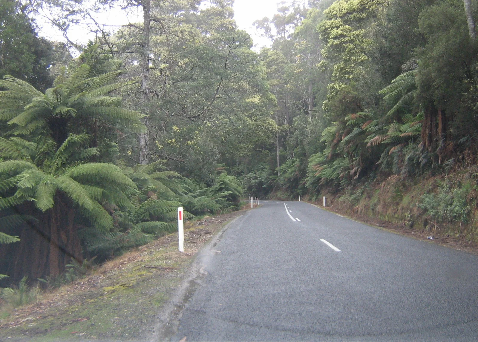
With half a day spare, head inland. The A3 turns west from St Helens through tall forest and tree ferns towards Pyengana, where the dairy's Farmgate Cafe (the old Holy Cow) opens Wednesday to Sunday, 9am to 3pm. St Columba Falls, more than 90 metres high, sits at the head of the valley, a 1.2km return walk from the car park.
Where to camp along the east coast
The Bay of Fires has the best free camping on the coast. Parks lists eight campgrounds in the conservation area, including Cosy Corner, Swimcart Beach and Sloop Reef. They're free, need no booking and allow stays of up to four weeks. Dogs on leads are welcome everywhere except Jeanneret Beach. Seatons Cove and Sloop Reef have no toilets listed, and there's no mains power anywhere, so a good 12V fridge earns its keep.
Freycinet is harder. Richardsons Beach, Honeymoon Bay and Ranger Creek are allocated by a ballot drawn in early August for the 18 December to 10 February peak, with a booking system promised from late 2026. Fees rise on 3 November 2026 to $24 unpowered and $35 powered. Missed out? The free Lagoons Beach campground, 20 minutes north of Bicheno, is a solid fallback.
Can you do the Tasmanian east coast in an EV?
Yes, if you plan the gaps. There are no Tesla Superchargers on the east coast; the nearest is at Glenorchy, so leave Hobart with a full battery. DC fast chargers sit at Sorell, Triabunna, Swansea, Bicheno and St Helens. The longest highway gap is 77km from Bicheno to St Helens, and Freycinet has no public fast charger yet.
Our compilation from operator listings (Tesla, Evie, NRMA Electric Highway Tasmania, Electrona), Tasmanian Government ChargeSmart grant lists, PlugShare and FuelCheck TAS data, checked 9 October 2026. Distances by OSRM. Charger status changes: check PlugShare before you go.
Most sites have a single DC unit, so one car ahead of you can turn a 20-minute stop into an hour. Charge to about 80 per cent and move on, as the Tasmanian Government's EV fact sheet recommends. The Freycinet detour is the trap: Swansea to Bicheno via Coles Bay is about 97km with no DC charger, against 43km direct.
Most of these chargers run through the Chargefox app, and the NRMA says its tap-and-pay readers on the Electric Highway Tasmania sites are temporarily unavailable. Set up Chargefox and Evie accounts before you leave home, and check PlugShare for the new Coles Bay charger. Our guide to EV road trips in Australia covers the wider planning.
Preparing the car for the east coast
Any roadworthy car will do this trip, which is the whole point. Check tyre pressures and tread before you leave Hobart, because the passes and the traffic-control stops reward grip and good brakes. Pack water, a warm layer and a wet-weather jacket, since the coast can flip from mild to cold and windy in one afternoon, even in summer.
Fuel is easy until the end. There are bowsers at Sorell, Triabunna, Swansea, Coles Bay, Bicheno, Scamander and St Helens, though Coles Bay's was the dearest on the route in FuelCheck TAS data on 9 October. Binalong Bay has none. Download offline maps before you go, and if the passes leave you wanting more, our Targa Tasmania roads guide is the next trip.
| Day | Route | Distance | Don't miss | Sleep |
|---|---|---|---|---|
| Day 1 | Hobart to Swansea via Orford and Triabunna | About 136km | Paradise Gorge, Maria Island ferry, Spiky Bridge, Kate's Berry Farm | Swansea or Coles Bay |
| Day 2 | Swansea to Bicheno via Freycinet | About 97km | Devil's Corner, Wineglass Bay Lookout, Cape Tourville, penguins at dusk | Bicheno |
| Day 3 | Bicheno to the Bay of Fires via Elephant Pass | About 110km | Elephant Pass, St Marys Pass, Binalong Bay, The Gardens Road | Bay of Fires campgrounds or St Helens |
| Optional | St Helens to Pyengana and back | About 72km | St Columba Falls, Pyengana Farmgate Cafe | St Helens |
Distances are our OSRM routing estimates and include the Freycinet and Elephant Pass detours. Opening hours and prices checked 9 October 2026.
The east coast is not a hard drive, and that's why it gets driven badly: too fast, too late in the day and in one long hit from Hobart. Split it into three short days, take the passes instead of the coast road, and be off the road by dusk. Do that, and it beats the Great Ocean Road for empty beaches.


