

The coast road from Sydney to Melbourne costs you about 165km and four hours over the Hume. What you get for that is a different trip entirely: sea cliffs, oyster towns, empty national park beaches and one long, lonely stretch of East Gippsland forest. The Hume gets you there in a day. The question is whether you want a drive or a holiday.
With summer holidays and NSW double demerits coming, we’ve compared both routes, plus the Monaro shortcut through Canberra and Cooma, on distance, fuel and charging gaps, current roadworks, stops and the rules that change at the border. All distances and times are routing estimates, so add time for stops, traffic and the inevitable roadworks.
| Route | Distance | Driving time | Fuel at 8L/100km | Best for |
|---|---|---|---|---|
| Hume (M31) | About 865km | About 10 hours | About $168 | One long day, towing, EVs |
| Princes Highway, the coast | About 1,030km | About 14 hours | About $200 | Two or three days, beaches, camping |
| Monaro, via Canberra and Cooma | About 1,015km | About 13 hours | About $197 | Skipping the busy South Coast; not ideal for EVs |
Distances and times are routing estimates from OpenStreetMap with no stops, traffic or roadworks. Fuel uses the AIP regional average of 242.6c a litre for unleaded, week ended 25 October 2026.
The Hume: faster, busier and camera-heavy
The Hume is a divided highway almost the whole way, and it’s one of the easiest long drives in the country for an EV: on our analysis, you’re never much more than 70km from a fast charger or a servo. Expect about 10 hours of driving. It’s also now among the most heavily watched roads in Australia, and the rules have changed since your last trip.
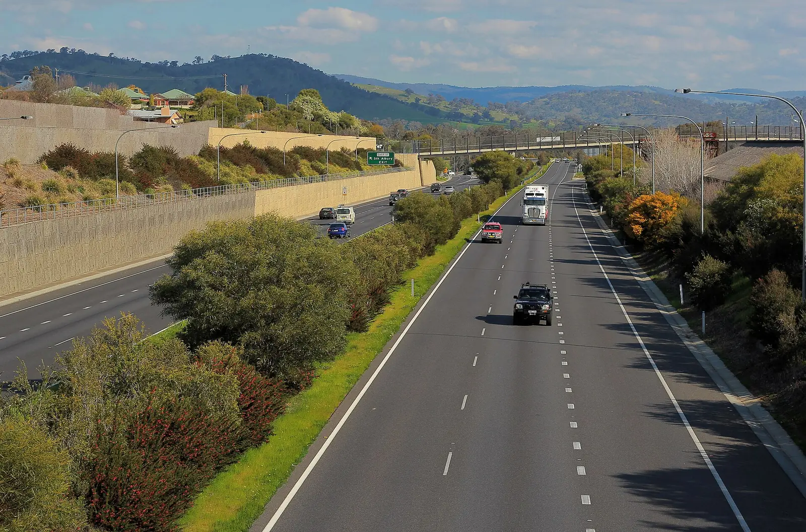
NSW now fines cars, not just trucks, on its average speed camera section between Coolac and Gundagai, after a trial showed a 76 per cent improvement in compliance across its two sites. Over the border, Victoria’s point-to-point system uses 28 cameras at 14 locations on the Hume Freeway. Roadworks at Marulan add about 20 minutes, and longer on Friday afternoons; check Live Traffic NSW before you leave.
Stops worth breaking the Hume for
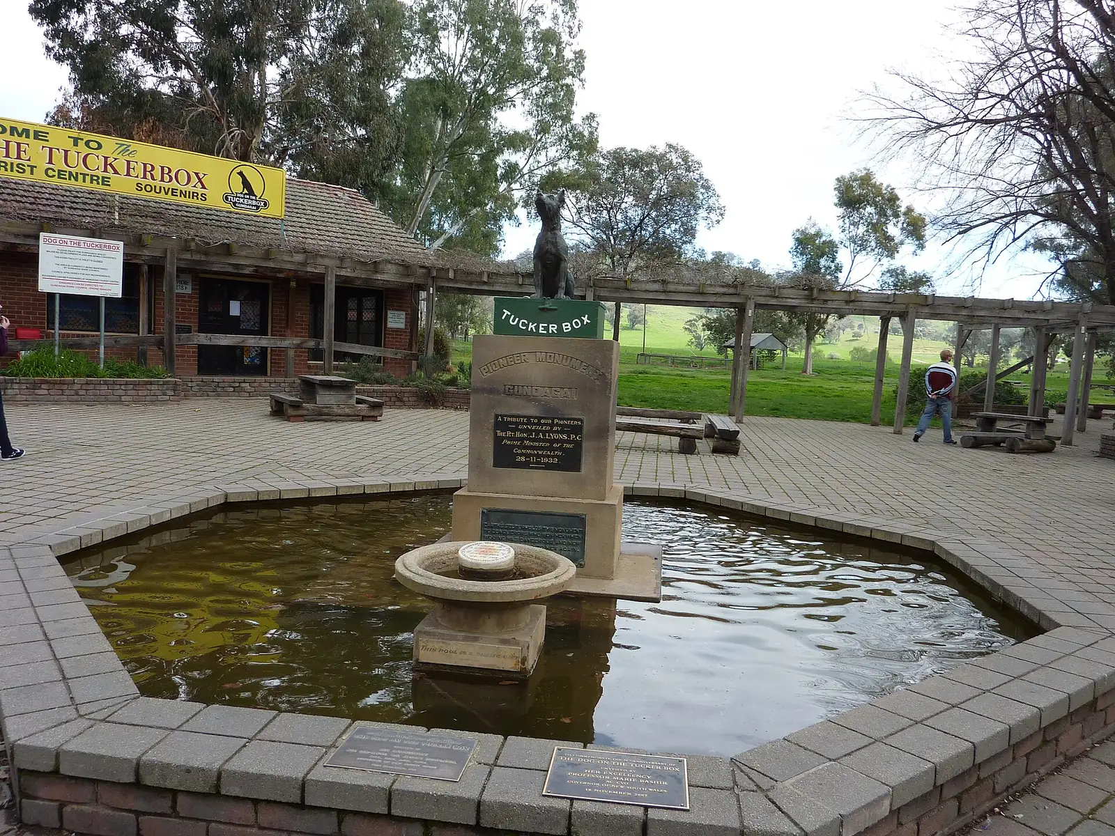
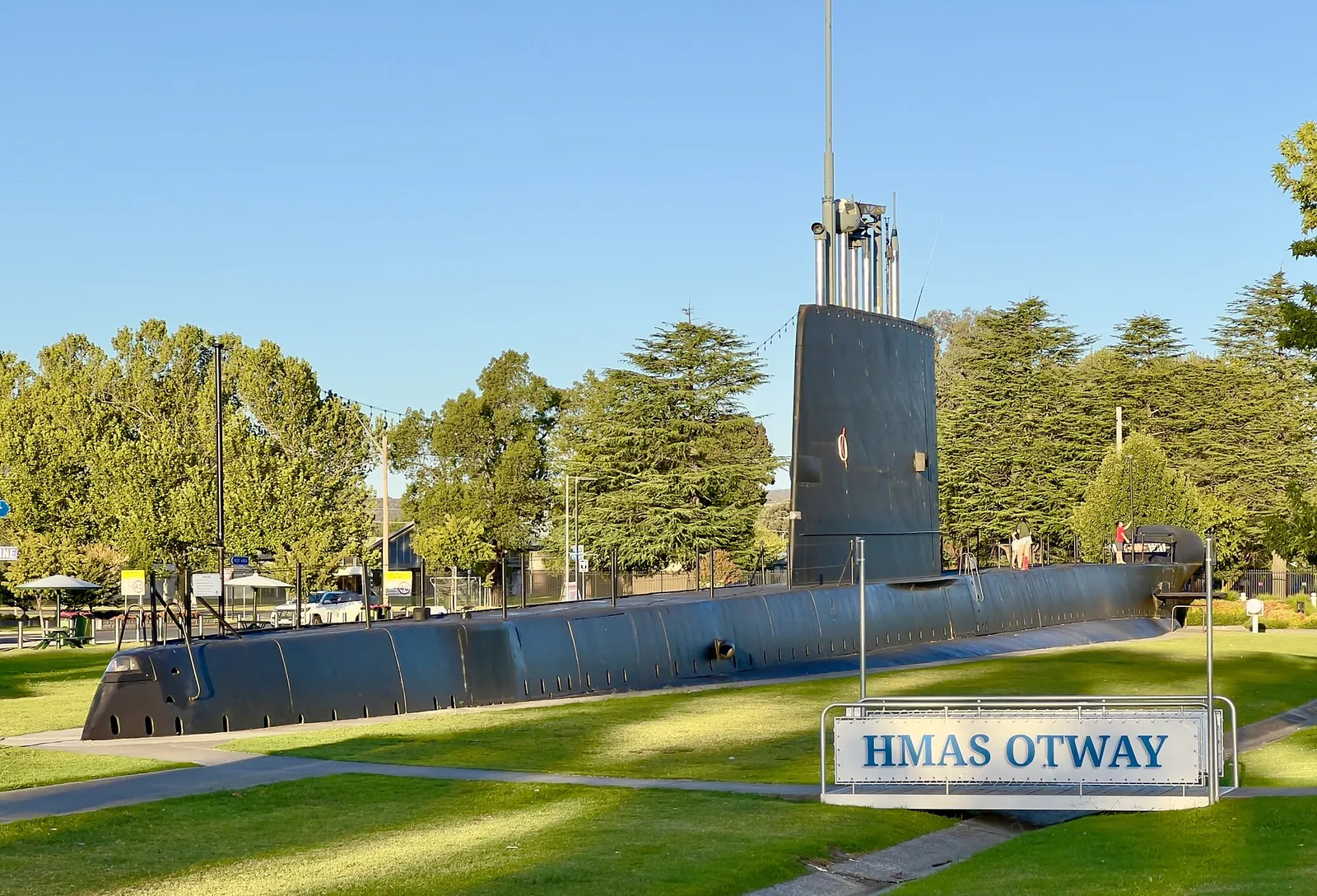
Berrima is barely 3km off the motorway for coffee and old sandstone. Goulburn’s Big Merino is free and has a cafe. The Dog on the Tuckerbox sits about 8km north of Gundagai, and Holbrook’s submarine museum and HMAS Otway make an odd but brilliant leg-stretch in a country town. In Victoria, Glenrowan’s Ned Kelly sites are a short hop off the freeway.
Want more than a pie and a toilet? Detour 37km from Wangaratta to Beechworth, or 18km from Chiltern to Rutherglen’s wineries. Both turn the Hume into an overnight trip without adding much distance, and both are better places to sleep than a motorway motel. In summer, Victoria’s Driver Reviver sites at Chiltern, Mokoan and Avenel are useful free coffee stops when they’re running over the holidays.
The coast road: two days minimum
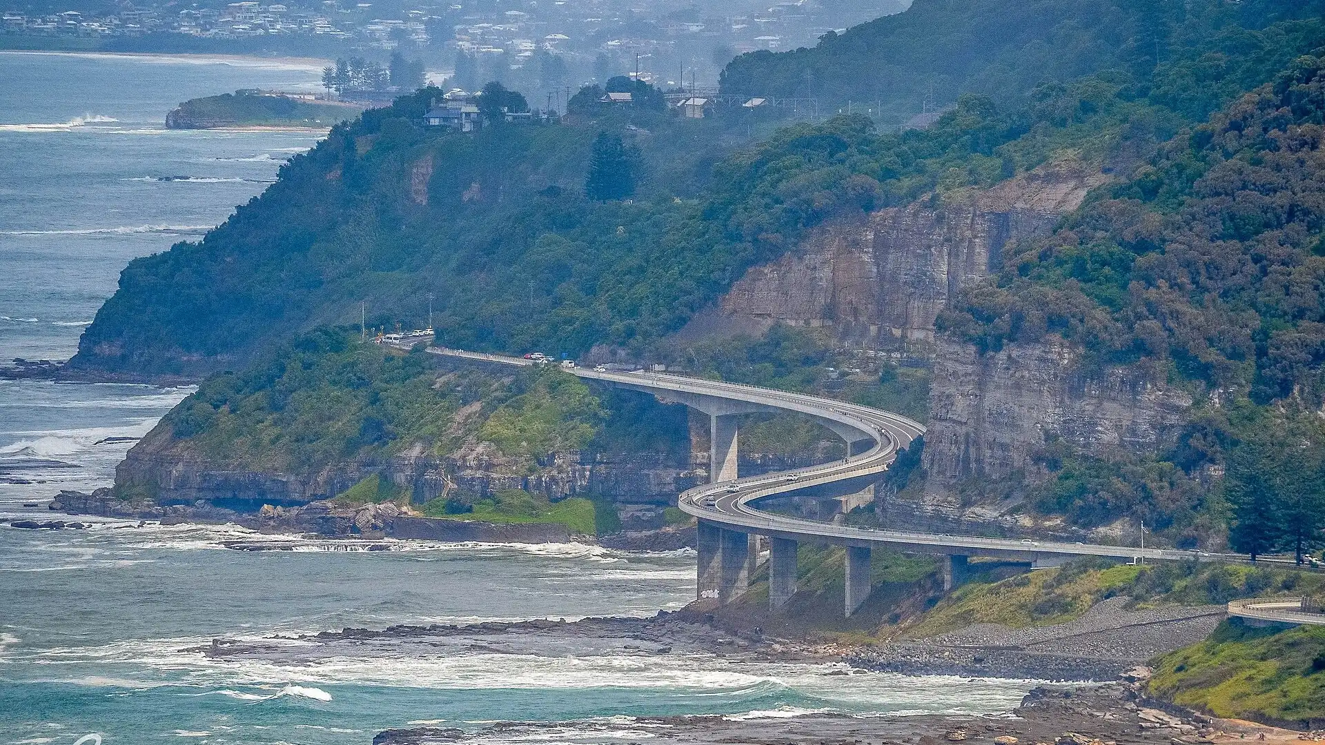
The Princes Highway route is about 1,030km and 14 hours of driving, so plan two days at least and three if you want to stop properly. It starts with the Grand Pacific Drive and the Sea Cliff Bridge, then runs through Kiama, Nowra, Ulladulla, Batemans Bay and Narooma. Most of the NSW section is two-lane highway through busy holiday towns.
Roadworks are part of the deal. The Jervis Bay Road interchange at Falls Creek is a 40km/h work zone that’s listed until 2028. Milton has roundabout works until mid-December, and Ulladulla has night closures until 18 December. The long-promised Milton Ulladulla bypass has only just finished its environmental exhibition, with no construction date.
Stops worth making on the coast
The Kiama Blowhole is worth 20 minutes with a south-easterly swell. Further south, Narooma’s Australia Rock is a free stop at Bar Rock Lookout, and Eden’s Killer Whale Museum costs $15 for adults. Murramarang National Park’s beaches, where kangaroos live at Pebbly Beach, cost $8 per vehicle to enter for the day.
Eden to Cann River: the stretch to plan for
This is where the coast road gets serious. From Eden it’s about 109km to Cann River through forest, with little more than a general store at Kiah for fuel along the way. EV drivers face a longer gap: there’s no fast charger between Merimbula and Cann River, about 136km. Fill up in Eden and charge in Merimbula.
The Hume never makes you drive more than about 70km between fast chargers. Both other routes funnel through Cann River, and the Monaro route has 174km with no DC charger at all. Plan that stretch before you leave, especially in an EV with a small battery.
Our analysis of OpenStreetMap fuel and charger locations near each route, cross-checked against Tesla's Supercharger list and East Gippsland Shire's charger network, 30 October 2026. Fuel at the Kiah store south of Eden is unconfirmed.
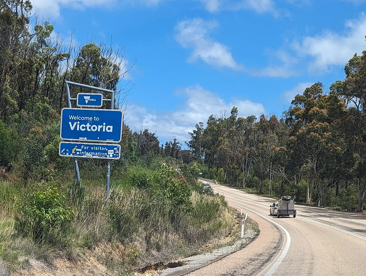
Cann River is the hinge for both southern routes. It has fuel, a three-stall Tesla Supercharger open to other CCS cars around the clock, and an East Gippsland Shire 50kW council charger. From there it’s 76km to Orbost and its council charger, then Lakes Entrance, Bairnsdale, Sale and Traralgon, which all have fast chargers, before the run into Melbourne.
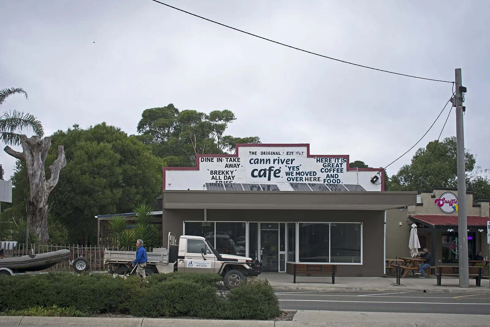
The Monaro route through Canberra and Cooma rejoins the coast at Cann River, and it has the worst gap of all: about 174km from Cooma with no DC charger. It’s a quieter, higher drive and a good choice in a petrol car. From Bairnsdale, the Omeo Highway and the alpine roads in our Great Alpine Road comparison offer a longer detour north.
Where to camp on the coast
National park camping is the best part of the coast road. Depot Beach in Murramarang has 40 sites with showers and powered options, while Aragunnu in Mimosa Rocks and Saltwater Creek in Beowa National Park are simpler, with water and firewood to bring. At Bittangabee, near Green Cape, the park notes there’s no mobile phone coverage at all.
Over the border, Croajingolong National Park has campgrounds at Thurra River, Wingan Inlet and Shipwreck Creek, some down unsealed roads with little or no reception. Book well ahead for the summer holidays, because the popular sites fill fast. Take a 12V fridge and a tyre inflator if you’ll be on gravel.
The rules that change at the border
NSW runs double demerits from 24 December 2026 to 3 January 2027, covering speeding, phone, seatbelt and helmet offences, and our double demerits guide lists the other holiday periods. NSW P-platers should note that their 90 and 100km/h caps still apply in Victoria, even where the limit is 110km/h; our P-plate guide covers what else applies.
Speeding, phone, seatbelt and helmet offences carry double points in NSW. Victoria has no double demerit scheme.
Cars are now fined on the Coolac to Gundagai section of the Hume, after a trial that ended in June.
Victoria's point-to-point system checks spot and average speed for all vehicles, both directions.
NSW P1 and P2 speed caps still apply in Victoria, even on 110km/h sections.
Victorian learners and P-platers can't use any phone function while driving, including GPS.
NSW and Victoria both run detection cameras, and Victoria lists more than 350 approved locations.
Sources: Transport for NSW demerit points and average speed cameras; Victorian Government road safety cameras; Transport Victoria cross-border licence rules.
Fuel, charging and the cost of the extra day
At 8L/100km and October’s regional unleaded average, fuel is about $168 one way on the Hume and about $200 on the coast. The bigger cost is an extra night or two away. If your car runs on premium, our fuel grade guide explains whether you need it. EV drivers should read our EV road trip guide, and if you’re choosing a car for trips like this, our ranking of the cheapest electric cars covers their range.
Wildlife is the other cost. Transport for NSW says one in every 41 casualty crashes on country roads involves an animal, mostly at dawn and dusk, and its advice is to brake in a controlled way and never swerve. A dash cam is worth having for insurance, and a wireless CarPlay adapter keeps navigation running without cables.
Which way should you go?
Take the Hume if you’re towing, driving an EV with a small battery, or simply need to be in Melbourne tonight. Take the coast road if you have three days and want the trip to be the holiday. Take the Monaro if you want empty roads in a petrol car and don’t mind trading beaches for high plains. Whichever you choose, avoid driving the South Coast at dusk in kangaroo country.
For Sydneysiders who want just a taste of the coast first, our guides to the Royal National Park drive and the Grand Pacific Drive make a good day out. Melburnians can do the same on the Mornington Peninsula. The Hume is the commute. The coast road is the reason you own a car.
Roadworks, prices and rules as at 30 October 2026. Header image: World4srk (Swapnil Photography), CC BY-SA 4.0, via Wikimedia Commons (cropped).


